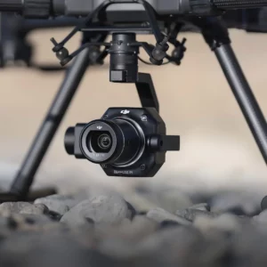
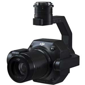
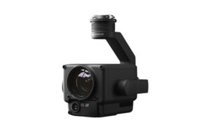
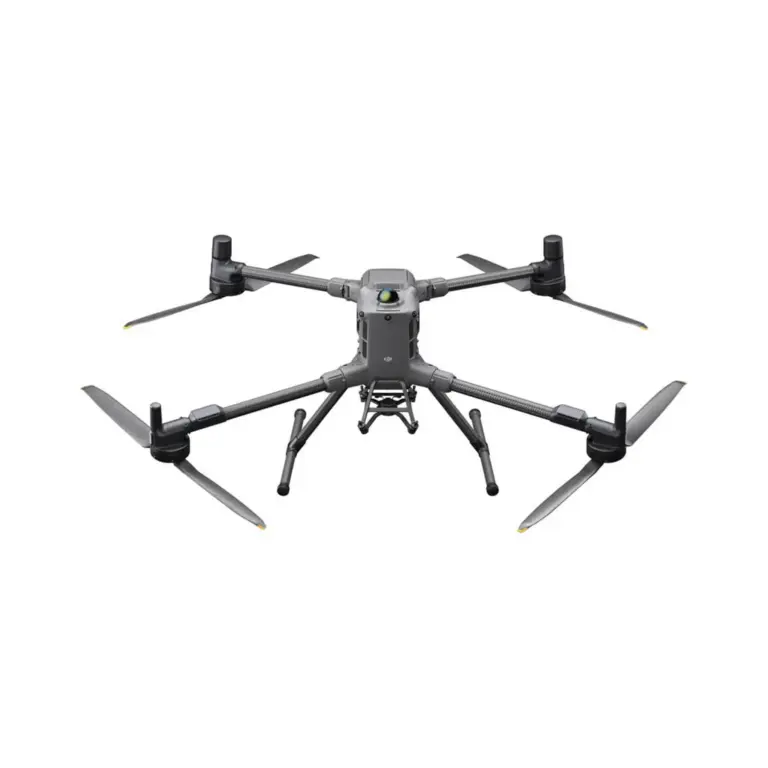
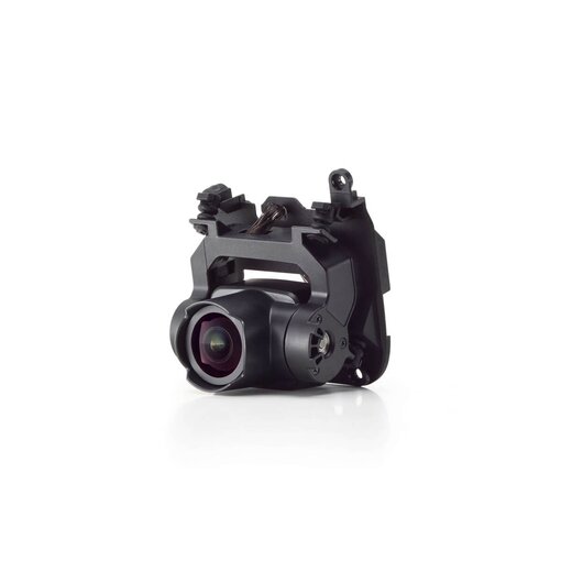
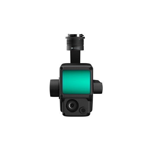
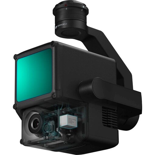
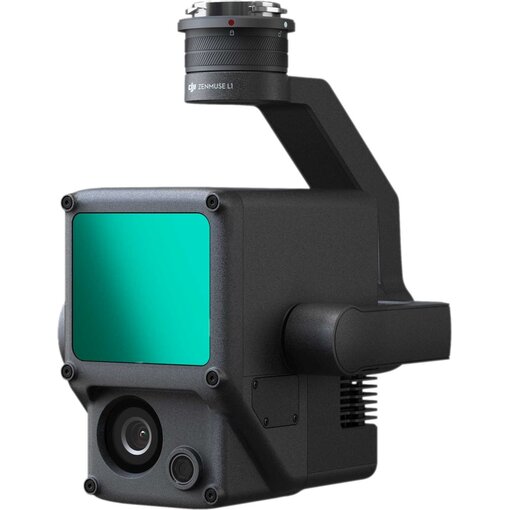
DJI Zenmuse L1 (LiDAR + RGB)

Excl. VAT

Incl. VAT

Highlights

  • Integrates a Lidar module, an RGB camera and a high-precision IMU
  • High efficiency 2 km2 covered in one flight
  • High accuracy Vertical accuracy: 5 cm / Horizontal accuracy: 10 cm
  • Point rate: 240,000 pts/s
  • Supports 3 returns
  • detection range: 450 m (80% reflectivity, 0 klx)
  • IP44 protection level
  • Point Cloud LiveView

Customer review: 9,6 / 10
Free shipping for orders over €99
Standard EUwarranty included
Secure payments with SSL encryption
Personal customer service
Fast & reliable delivery
Multiple payment methods available
ISO 9001 certified

Bancontact Sofort iDEAL Klarna PayPal
[embedyt] https://www.youtube.com/watch?v=c0v-oCD8bX0[/embedyt]

DJI Zenmuse L1 - A Lidar + RGB solution


The Zenmuse L1 integrates a Livox Lidar module, a high-precision IMU and a 1-inch CMOS camera on a 3-axis stabilised gimbal suspension. When used with the DJI Matrice 300 RTK and DJI Terra, the L1 forms a complete solution that gives you real-time 3D data detailing complex structures and highly accurate reconstructed models.

Visualise data as you fly

LIVOX LIDAR MODULE
- Frame Lidar with up to 100% effective point cloud results
- Detection range: 450 m (80% reflectivity, 0 klx) / 190 m (10% reflectivity, 100 klx)
- Effective point rate: 240,000 pts/s
- Supports 3 returns
- Line scan mode and non-repetitive petal scan mode

All in sight

RGB CAMERA
- 20 MP
- 1-inch CMOS
- Mechanical shutter


Accurate details at your disposal

HIGH ACCURACY IMU
- Accuracy: 0.025 ° (roll/pitch) / 0.08 ° (yaw)
- Vision sensor for positioning accuracy
- GNSS, IMU, RGB data fusion


Point Cloud LiveView
Real-time point clouds provide immediate on-site insights, informing operators to make crucial decisions quickly.
You can also verify the quality of the fieldwork by checking the point cloud data immediately after each flight.


Measurement and annotation
Acquire and communicate critical dimensions on the point cloud model using measurements and annotations.

One-stop finishing
DJI Terra combines IMU and GNSS data for point cloud and visible light calculations, in addition to performing POS data calculations, allowing you to effortlessly generate reconstructed models and accuracy reports.
  • 1x DJI Zenmuse L1

Matrice 350

Matrice 300

Complete the Look

No products were found for this search.

Upgrade Your Basics

No products were found for this search.

This is how our customers rate us:
9.6 / 10

Lorem ipsum dolor sit amet, consectetur adipiscing elit. Ut elit tellus, luctus nec ullamcorper mattis, pulvinar dapibus leo.

en_GBEnglish

DJI Zenmuse L1 (LiDAR + RGB)

Request a quote

Fill in your details below, and we will get back to you soon with an appropriate quote!