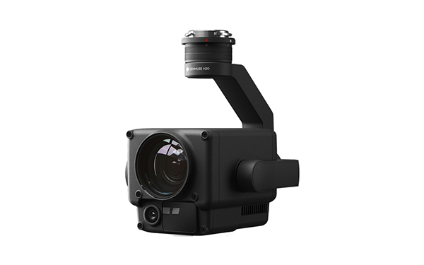
DJI Zenmuse H20
Multi-sensor payloads adding a whole new meaning to the efficiency of operations. With unparalleled intelligence and integrated design, unprecedented aerial photography capabilities are available for a range of commercial drone applications.
All the sensors you need in one device
Record everything. Up close or from a distance. In real, vivid colours or as a thermal image. An integrated laser range finder (LRF) measures the distance to an object at a distance of up to 1,200 m. A powerful, integrated payload that unleashes advanced intelligent capabilities for DJI's industrial drone platforms.
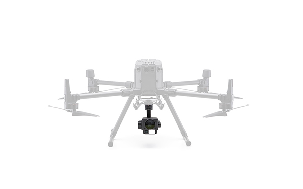
Useful loads with multiple sensors
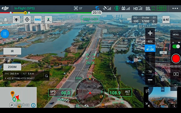
Zoom, night, wide-angle, see the whole picture without missing details wherever you are.
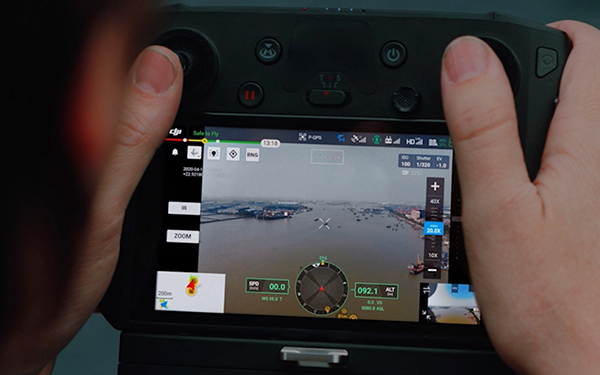
Seamless user interface
A new built-in user interface lets you quickly switch between wide-angle, zooms and preview the zoom field of view (FOV) in wide-angle.
AI task verification
Automate routine inspections and collect time after time with consistent results. The AI recognises the previously marked object, enabling consistent recording in normal and automated operations.
High-resolution raster photo
Highlight a desired area in a large camera image and the zoom camera will automatically take a series of 20 megapixels per image of this area. These images are stored together with a summary image, allowing for a more detailed view.
PinPoint (exact location)
You can quickly mark a visible object and advanced sensor fusion algorithms instantly give its coordinates.
Chases
Identify and track moving subjects such as people, vehicles and boats with the auto zoom function while continuously capturing the subject's dynamic location.
Applications:
- Firefighting: extinguish fires and save lives without endangering people.
- Rescue operations: respond quickly to locate missing persons to better plan rescue operations.
- Law enforcement: being able to quickly assess the situation and respond accordingly - while improving the safety of emergency services and passers-by.
- Inspections of high-voltage lines: easy visualisation of large networks of high-voltage lines - even in remote areas.
- Oil and gas supply: inspect pipelines or boreholes without employees having to go to dangerous locations.