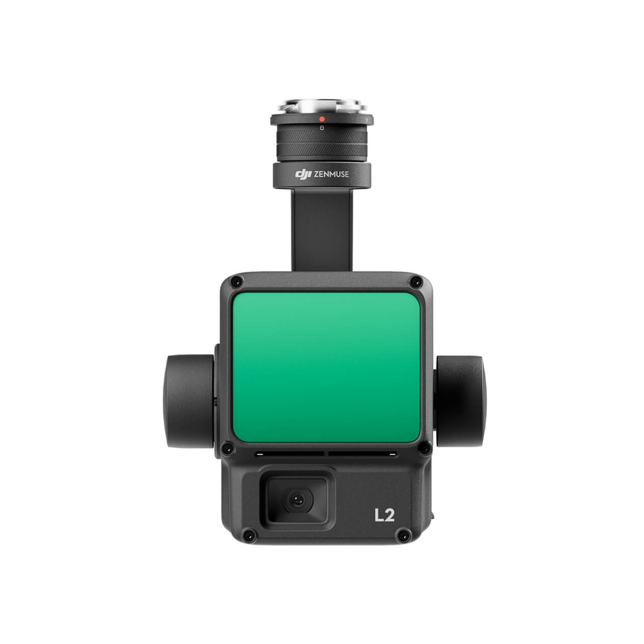
Dimensions: 155×128×176 mm (L×W×H)
Weight: About 905±5 g
Power:
- Typical: 28 W
- Maximum: 58 W
IP rating: IP54
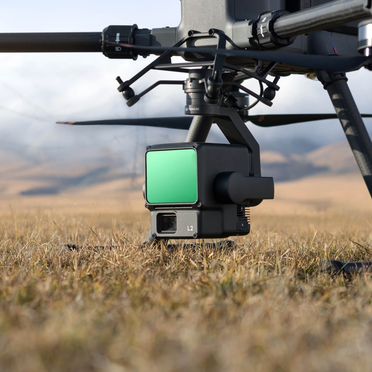
Supported Aircraft:
- Matrice 300 RTK (requires DJI RC Plus)
- Matrice 350 RTK
Storage temperature: -20° to 60° C (-4° to 140° F)
General Operating Temperature: -20° to 50° C (-4° to 122° F)
System performance
Detection range:
- 450m at 50% reflectivity, 0 klx
- 250m at 10% reflectivity, 100 klx
- Maximum detection distance: 500 m
Point cloud frequency:
- Single return: max 240,000 points/s
- Multiple returns: max 1,200,000 points/s
System accuracy:
- Horizontally: 5 cm @ 150 m
- Vertical: 4 cm @ 150 m
Real-Time Point Cloud Colour Coding:
- Reflectivity, Height, Distance, RGB
LiDAR
Accuracy Distance measurement (RMS 1σ): 2 cm @ 150 m
Supported Maximum Returns: 5
Scan modes:
- Non-repetitive scanning pattern
- Repetitive scan pattern
Field of view (FOV):
- Repetitive scan pattern: Horizontal 70°, Vertical 3°
- Non-repetitive scanning pattern: Horizontal 70°, Vertical 75°
Minimum Detection Distance: 3 m
Laser beam Divergence:
- Horizontally 0.2 mrad, Vertically 0.6 mrad
Laser wavelength: 905 nm
Laser spot size:
- Horizontally 4 cm, vertically 12 cm @ 100 m (FWHM)
Laser Pulse Emission Frequency: 240 kHz
Laser Safety: Class 1 (IEC 60825-1:2014)
Navigation system
IMU Update frequency: 200 Hz
Accelerometer Range: ±6 g
Angular speedometer Range: ±300 dps
Yaw Accuracy (RMS 1σ):
- Real-time: 0.2°
- After processing: 0.05°
Pitch/Roll accuracy (RMS 1σ):
- Real-time: 0.05°
- After processing: 0.025°
Horizontal position accuracy:
Vertical Position Accuracy:
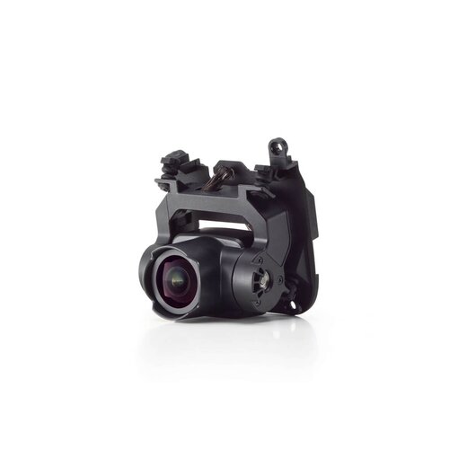
RGB Mapping Camera
Sensor: 4/3 CMOS, Effective Pixels: 20 MP
Lens:
- FOV: 84°
- Size Equivalent: 24 mm
- Aperture: f/2.8-f/11
Shutter speed:
- Mechanical shutter: 2-1/2000 s
- Electronic shutter: 2-1/8000 s
Closing number: 200.000
Photo format: 5280×3956 (4:3)
Photography modes:
- Single shot: 20 MP
- Timed: 20 MP
- JPEG Timed Interval: 0.7/1/2/3/5/7/10/15/20/30/60 s
- RAW/JPEG + RAW Timed Interval: 2/3/5/7/10/15/20/30/60 s
Video
Video Codec and Resolution:
- H.264, H.265
- 4K: 3840×2160 @30fps
- FHD: 1920×1080 @30fps
ISO:
- Video: 100-6400
- Photo: 100-6400
Video Bitrate:
Supported File System: exFAT
Photo format: JPEG/DNG (RAW)
Video format: MP4 (MPEG-4 AVC/H.264 or HEVC/H.265)
Gimbal
Stabilisation system: 3-axis (tilt, roll, pan)
Assembly: Detachable DJI SKYPORT
Mechanical Range:
- Tilt: -143° to +43°
- Pan: ±105°
Operating range:
- Tilt: -120° to +30°
- Pan: ±90°
Operating modeFollow/Free/Refocus
Data storage
Raw Data Storage: Photo/IMU/Point cloud/GNSS/Calibration files
Point cloud Data storage: Real-time modelling data storage
Supported microSD cards:
- microSD: Sequential write speed 50 MB/s or higher and UHS-I Speed Grade 3 rating or higher; Max capacity: 256 GB. Use recommended microSD cards.
Recommended microSD cards:
- Lexar 1066x 64GB U3 A2 V30 microSDXC
- Lexar 1066x 128GB U3 A2 V30 microSDXC
- Kingston Canvas Go! Plus 128GB U3 A2 V30 microSDXC
- Lexar 1066x 256GB U3 A2 V30 microSDXC
Post-processing
Supported Software: DJI Terra
Data format:
- DJI Terra supports exporting point cloud models in the following formats: PNTS/LAS/PLY/PCD/S3MB