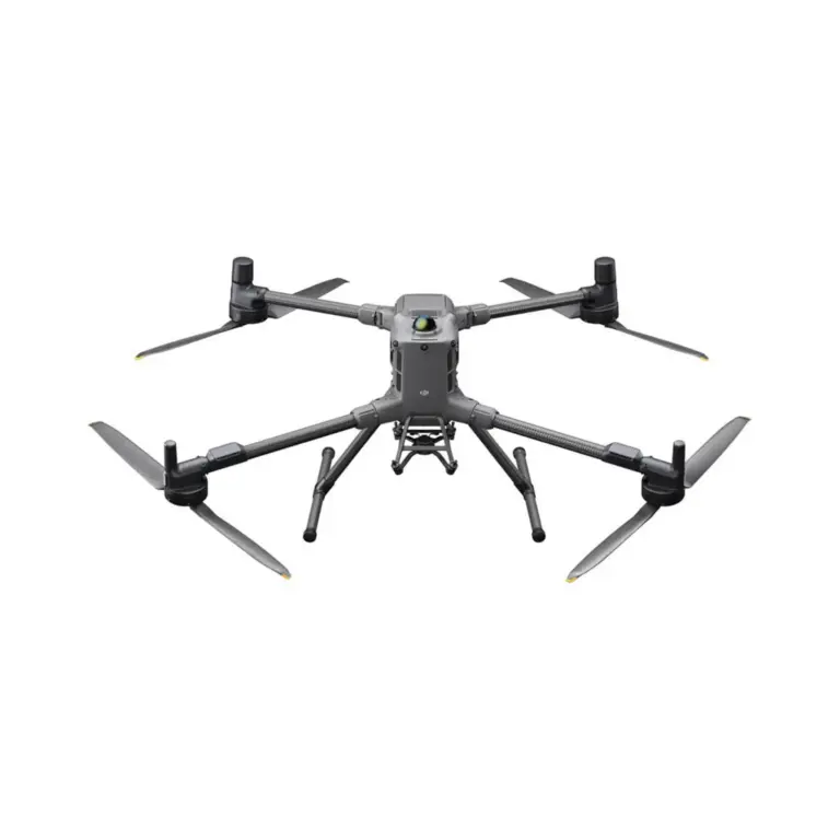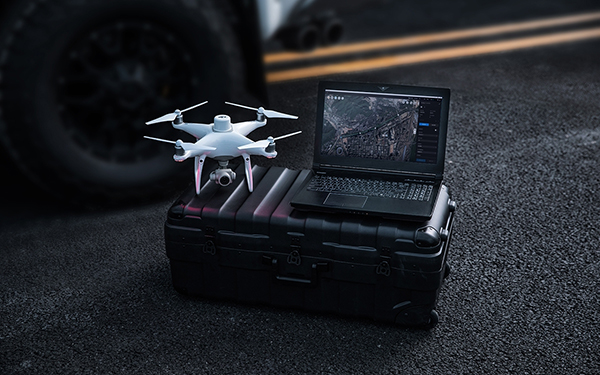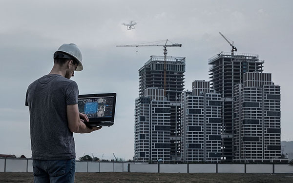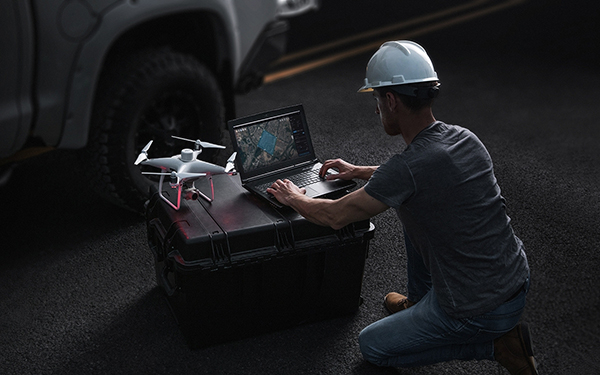

DJI-ENTERPRISE.png

DJI Terra Pro 1 Year

Join the waitlist to be emailed when this product becomes available

Highlights

  • Flight planning: easily select an area on the map to create flight paths and automate complex missions
  • Waypoint mission planning: create efficient flight paths with waypoint actions, adjust parameters such as altitude, speed and cardanic pitch
  • Real-time mapping: quickly generate a 2D orthomosaic of the selected area in real time
  • 2D reconstruction: import images to generate high-resolution RGB orthomosaics and vegetation index maps
  • Supports Phantom 4 Series Drones, including Phantom 4 RTK, Phantom 4 Pro V2.0, Phantom 4 Pro + V2.0, Phantom 4 Pro, Phantom 4 Advanced, Phantom 4
  • The basic version contains functions designed for applications in agricultural/map orchards

Customer review: 9,6 / 10
Free shipping for orders over €99
Standard EUwarranty included
Secure payments with SSL encryption
Personal customer service
Fast & reliable delivery
Multiple payment methods available
ISO 9001 certified

Bancontact Sofort iDEAL Klarna PayPal

DJI Terra Pro 1 Year


Complex flight tasks can be automated in just a few steps, greatly simplifying the creation of maps and models for further analysis.
When precision is essential and a high level of detail indispensable, flight commands with oblique shots offer the possibility to create detailed 3D models. The camera takes pictures from an inclined angle to get an even sharper and more detailed view of the target object.
Create efficient flight routes with predefined actions at the respective waypoints. Key functions such as speed, altitude and cardanic orientation can be set before flight. For more complex flight missions and flights in confined spaces that require a very high level of detail, 3D flight visualisation is now available to plan and simulate flights in existing 3D models.
Mapping
Real-time mapping provides the ability to quickly create a 2D orthomosaic of a selected area. This is ideal not only for creating detailed flight paths in remote areas, but also for jobs with limited time windows.
2D reconstruction
Generate high-resolution orthomosaics for accurate measurement results for important projects.
3D reconstruction
Get a sharp and realistic representation of an area. This technology can be used for a variety of industrial applications, such as construction progress and accident reconstruction.
Data analysis
2D and 3D measurements:
Record the dimensions of an area with easy-to-use measurement tools for distances, areas and volumes.
Coordinates
distance
area
volume
Comments
Add annotations to existing models, which can improve communication during a project.
Inspections through detailed photographs
Photos with a 3D reference point can be displayed separately on request. Data from the 3D models and photos give you more freedom for inspections and the double opportunity to check details.
Seamless integration with DJI drones
DJI Terra is compatible with the following Phantom 4 series drones:
Phantom 4 RTK
Phantom 4 Pro V2.0
Phantom 4 Pro + V2.0
Phantom 4 Pro
Phantom 4 Advanced
Phantom 4.
Launch of a new generation of mapping solutions
Use the latest map solutions with AI technology and lift industrial projects to a new level of capabilities. Whether for object classification or inspections, develop task-specific mapping solutions to fulfil your missions.
Data acquisition
Define targets, plan flight missions and automate aerial data collection.
Data processing
Use image recognition technology and generate data in 2D and 3D, meaning a more realistic representation of your target object, its surroundings or the entire infrastructure.
Data processing
Use tools and techniques from the field of machine learning, which can be used in many different industries for needs-based classification.
implementation
Automate processes with machine control and use the results efficiently in areas such as pest control, construction progress monitoring and material transport.
Terra licences:
Features / version Advanced Pro
Real-time 2D mapping
Applications in agriculture:
Import of KML files
2D reconstruction (field)
2D reconstruction (urban)
3D reconstruction
3D flight missions
DJI Terra Pro 1 year
  • 1x DJI Terra Pro 1 Year

Related products

No products were found for this search.

This is how our customers rate us:
9.6 / 10

Lorem ipsum dolor sit amet, consectetur adipiscing elit. Ut elit tellus, luctus nec ullamcorper mattis, pulvinar dapibus leo.

en_GBEnglish

info@koningdrone.be

DJI Terra Pro 1 Year

Request a quote

Fill in your details below, and we will get back to you soon with an appropriate quote!