
 EN
EN  NL
NL  FR
FR  DE
DE  ES
ES 
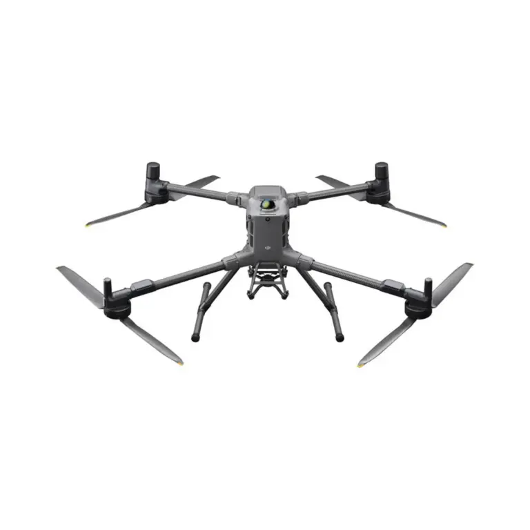
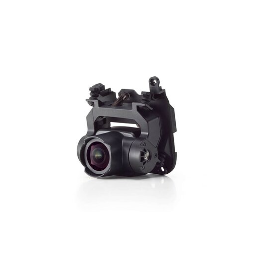


The DJI Zenmuse L1 is a powerful LiDAR and camera system designed for accurate 3D modelling and mapping. Combining a powerful LiDAR sensor with a high-resolution camera, it captures detailed point cloud data and images for accurate 3D modelling. Ideal for applications such as topographic mapping, forestry and infrastructure inspections, the Zenmuse L1 delivers exceptional accuracy, efficiency and reliability for professional land surveying and environmental monitoring.
€2.515,00€2.078,51
DJI Zenmuse L1: LiDAR and camera system for accurate 3D modelling.
Achieve accurate 3D modelling and mapping with the DJI Zenmuse L1, a rugged LiDAR and camera system. Integrating a powerful LiDAR sensor with a high-resolution camera, the L1 captures detailed point cloud data and images for accurate mapping and modelling. Perfect for applications such as topographic surveys, forest management and infrastructure inspections, the Zenmuse L1 improves the efficiency, accuracy and reliability of surveying and environmental monitoring, making it an indispensable tool for professionals in various industries.
| Cookie | Duration | Description |
|---|---|---|
| cookielawinfo-checkbox-analytics | 11 months | This cookie is set by GDPR Cookie Consent plugin. The cookie is used to store the user consent for the cookies in the category "Analytics". |
| cookielawinfo-checkbox-functional | 11 months | The cookie is set by GDPR cookie consent to record the user consent for the cookies in the category "Functional". |
| cookielawinfo-checkbox-necessary | 11 months | This cookie is set by GDPR Cookie Consent plugin. The cookies is used to store the user consent for the cookies in the category "Necessary". |
| cookielawinfo-checkbox-others | 11 months | This cookie is set by GDPR Cookie Consent plugin. The cookie is used to store the user consent for the cookies in the category "Other. |
| cookielawinfo-checkbox-performance | 11 months | This cookie is set by GDPR Cookie Consent plugin. The cookie is used to store the user consent for the cookies in the category "Performance". |
| viewed_cookie_policy | 11 months | The cookie is set by the GDPR Cookie Consent plugin and is used to store whether or not user has consented to the use of cookies. It does not store any personal data. |