

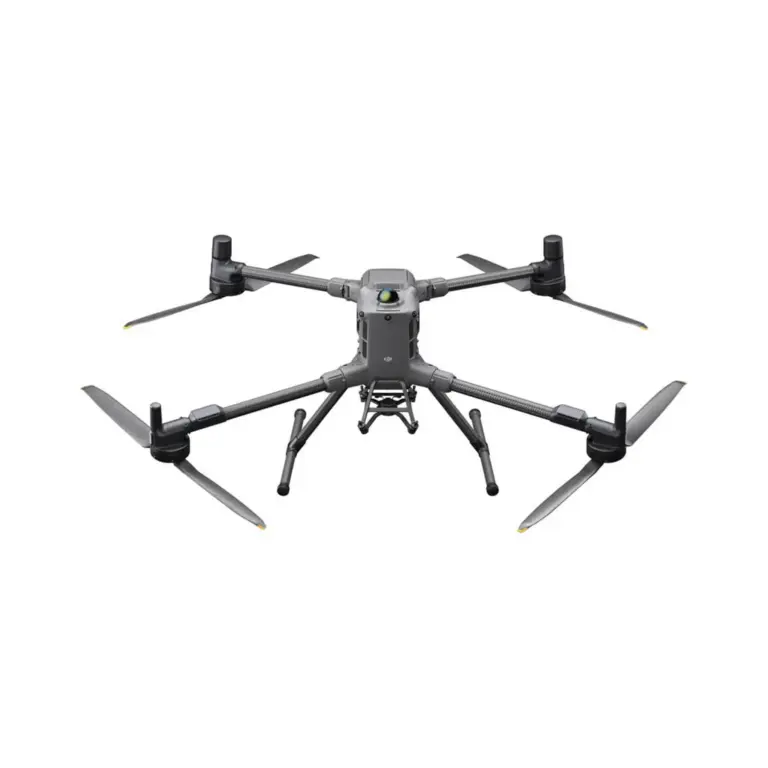
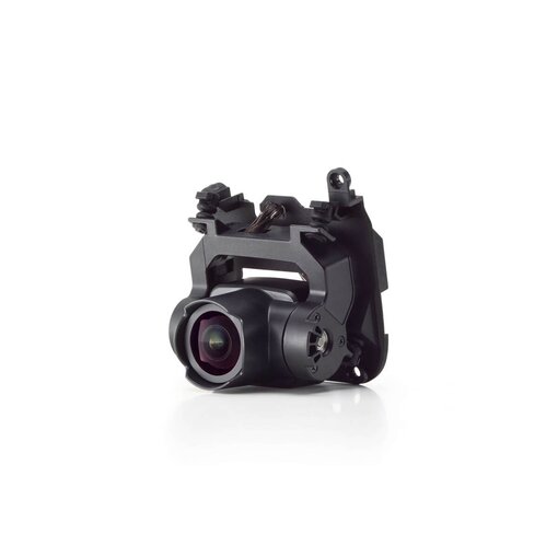

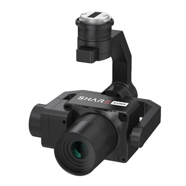
Highlights
- Designed for professional aerial mapping and inspection.
- Delivers high-quality detailed images with precision.
- Ensures stable and distortion-free photos in various conditions.
- Compatible with leading drone platforms for versatile applications.
- Improves efficiency in surveying, infrastructure inspection and 3D modelling.
