✔ Customer review: 9,6 / 10 ✔Free shipping for orders over €99 ✔ Standard EUwarranty included ✔ Secure payments with SSL encryption ✔ Personal customer service ✔Fast & reliable delivery ✔Multiple payment methods available ✔ISO 9001 certified
DJI Mavic 3 Multispectral + 2 jaar DJI Care
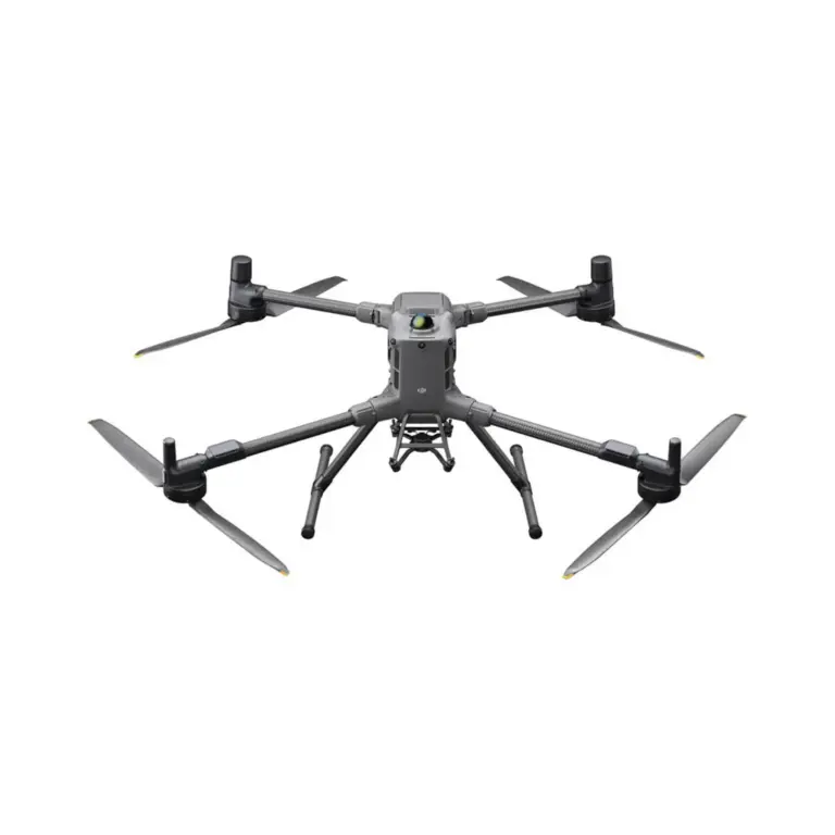
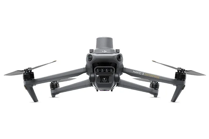
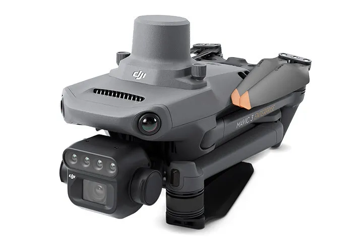
De DJI Mavic 3 Multispectral (M3M) is een geavanceerde, compacte enterprise-drone die speciaal is ontwikkeld voor precisielandbouw, bosbeheer en milieumonitoring. Door een traditionele RGB-camera te combineren met een hoogwaardig multispectraal camerasysteem, stelt deze drone agronomen, onderzoekers en landmeters in staat om de gezondheid van gewassen nauwkeurig te analyseren en operationele beslissingen te optimaliseren. Deze uitgebreide bundel bevat tevens 2 jaar DJI Care Enterprise, waardoor je gedurende 24 maanden gedekt bent tegen onvoorziene schade en kunt rekenen op snelle vervangingen om de continuïteit van je projecten op lange termijn te garanderen.
Performance & Functionality
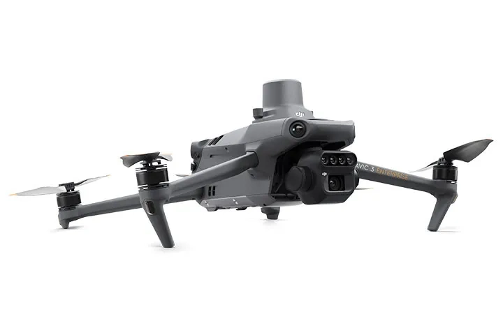
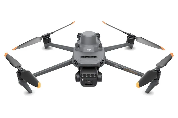
De DJI Mavic 3 Multispectral blinkt uit door zijn tweekanaals zichtsysteem dat data met uiterste precisie verzamelt. De drone is uitgerust met een 20 MP 4/3 CMOS RGB-camera met een mechanische sluiter voor scherpe mapping-beelden zonder bewegingsonscherpte, aangevuld met vier 5 MP multispectrale camera’s (Green, Red, Red Edge en Near Infrared). Dankzij de meegeleverde RTK-module ondersteunt het systeem positionering op centimeterniveau, wat essentieel is voor nauwkeurige landmetingen en het genereren van gedetailleerde NDVI-kaarten. Met een maximale vliegtijd tot 43 minuten per batterij kunnen operators efficiënt grote oppervlakken in kaart brengen tijdens een enkele missie.
Build quality & design
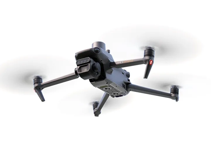
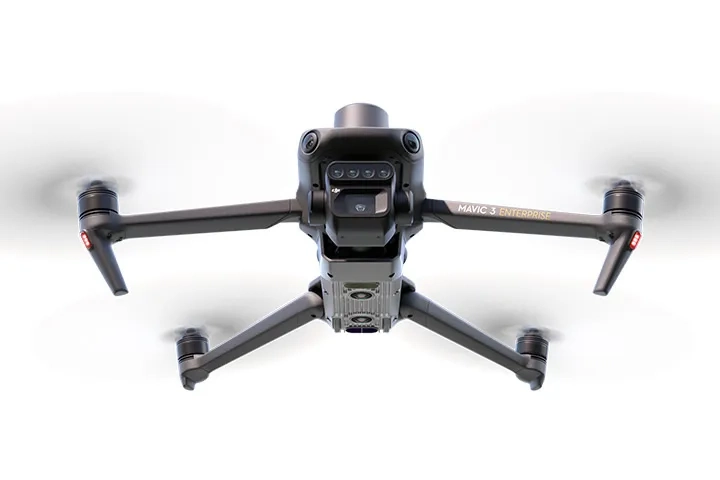
Het compacte en opvouwbare ontwerp van de Mavic 3-serie maakt deze drone uiterst mobiel en binnen enkele minuten inzetbaar in het veld. Ondanks het lichte gewicht is het platform ontworpen voor intensief professioneel gebruik en uitgerust met omnidirectionele obstakeldetectie via APAS 5.0, wat zorgt voor maximale veiligheid tijdens autonome vluchten. Een geïntegreerde zonne-irradiantiesensor op de bovenzijde van de drone registreert continu de zonne-instraling om de multispectrale data automatisch te kalibreren. Dit garandeert consistente en vergelijkbare meetresultaten, ongeacht de wisselende lichtomstandigheden op de dag van de vlucht.
Why You Need It
Voor landbouwprofessionals, onderzoekers en inspecteurs is de DJI Mavic 3 Multispectral een onmisbaar instrument om data-gestuurde beslissingen te nemen, gewasstress vroegtijdig te signaleren en de opbrengst te maximaliseren. Het systeem vertaalt complexe omgevingsfactoren snel naar bruikbare inzichten. De toevoeging van het 2-jarige DJI Care Enterprise-pakket biedt langdurige gemoedsrust; eventuele crash-, operator- of waterschade wordt snel en kostenefficiënt afgehandeld, zodat kostbare downtime in het oogst- of onderzoeksseizoen tot een minimum wordt beperkt.
Product
DJI Mavic 3 Multispecteral + 2 years DJI Care
EAN
4251088420235
Weight
951 g
Maximum flight time
Tot 43 minuten
RGB Camera
4/3 CMOS, 20 MP, Mechanische Sluiter (sluitersnelheid tot 1/2000s)
1 x DJI Care Enterprise Basic (2-jarig licentieverslag automatisch gekoppeld)
1 x Batterijlader + Voedingskabel
3 x Propellers (Paar)
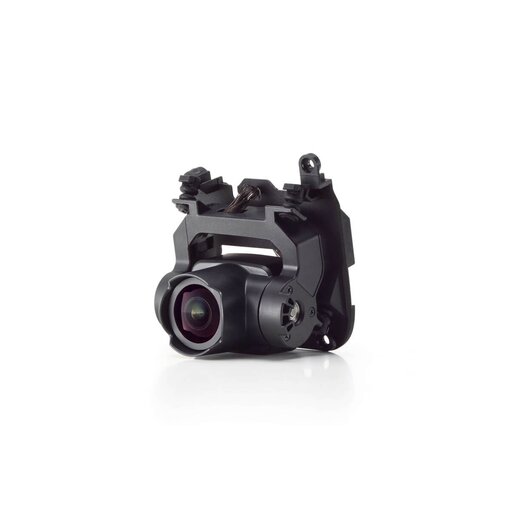
1 x Gimbal Protector / Transportbescherming
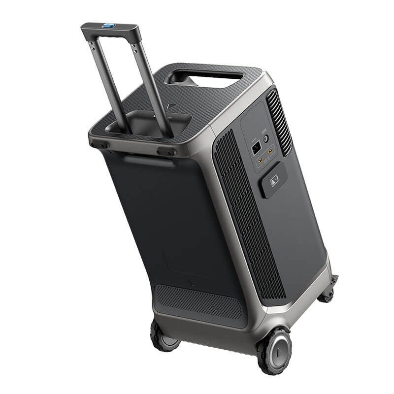
1 x Robuuste Transportkoffer
Related products
No products were found for this search.
What a super service I experienced at King drone. When I made my purchase, I had written note that I needed the item quickly and the next day I had it delivered. Really fantastic! Customer service was also easy to reach by phone. Many webshops could learn something from that. In short: super service in the most important areas.
All delivered on time, good product
Order took a while to arrive
But because of holidays
But otherwise happy with the recommendation from me
This is how our customers rate us:
9.6 / 10
Lorem ipsum dolor sit amet, consectetur adipiscing elit. Ut elit tellus, luctus nec ullamcorper mattis, pulvinar dapibus leo.