
 EN
EN  NL
NL  FR
FR  DE
DE  ES
ES  IT
IT 
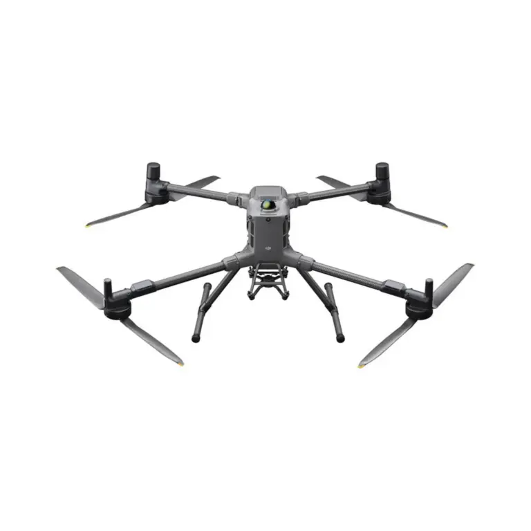
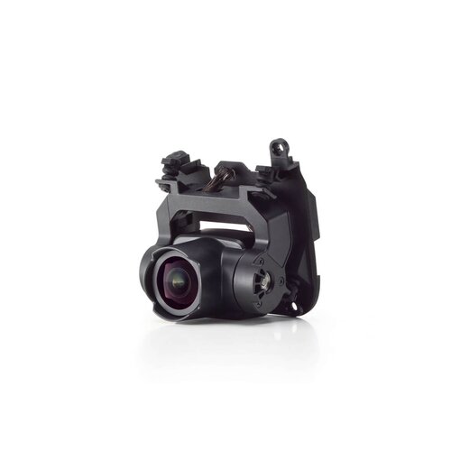


The DJI Matrice 3D is a professional drone designed specifically for 3D mapping and detailed aerial surveys. It integrates advanced imaging and sensor technologies to capture accurate data, making it ideal for industries such as construction, mining and agriculture where accurate topographic modelling and mapping are essential.
DJI Matrice 3D: professional 3D mapping drone for detailed aerial surveys.
The DJI Matrice 3D is designed for 3D mapping and detailed aerial surveys. It is a professional drone equipped with advanced imaging and sensor technologies. The drone captures accurate and precise data, making it ideal for industries such as construction, mining and agriculture where topographic modelling and mapping are crucial. With its powerful performance and high-resolution capabilities, the Matrice 3D enables professionals in these fields to conduct efficient surveys and create reliable, detailed models for various applications.
| Cookie | Duration | Description |
|---|---|---|
| cookielawinfo-checkbox-analytics | 11 months | This cookie is set by GDPR Cookie Consent plugin. The cookie is used to store the user consent for the cookies in the category "Analytics". |
| cookielawinfo-checkbox-functional | 11 months | The cookie is set by GDPR cookie consent to record the user consent for the cookies in the category "Functional". |
| cookielawinfo-checkbox-necessary | 11 months | This cookie is set by GDPR Cookie Consent plugin. The cookies is used to store the user consent for the cookies in the category "Necessary". |
| cookielawinfo-checkbox-others | 11 months | This cookie is set by GDPR Cookie Consent plugin. The cookie is used to store the user consent for the cookies in the category "Other. |
| cookielawinfo-checkbox-performance | 11 months | This cookie is set by GDPR Cookie Consent plugin. The cookie is used to store the user consent for the cookies in the category "Performance". |
| viewed_cookie_policy | 11 months | The cookie is set by the GDPR Cookie Consent plugin and is used to store whether or not user has consented to the use of cookies. It does not store any personal data. |