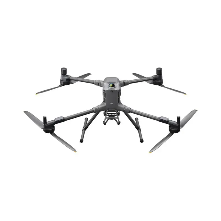
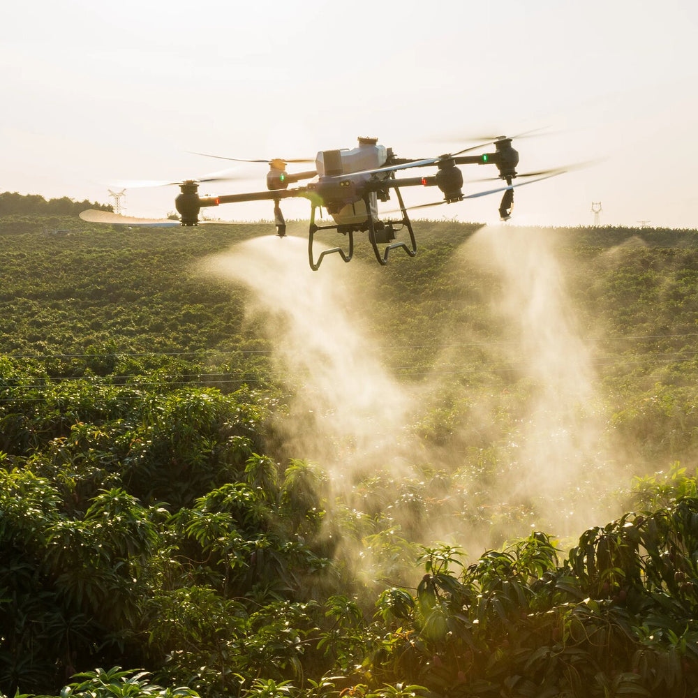
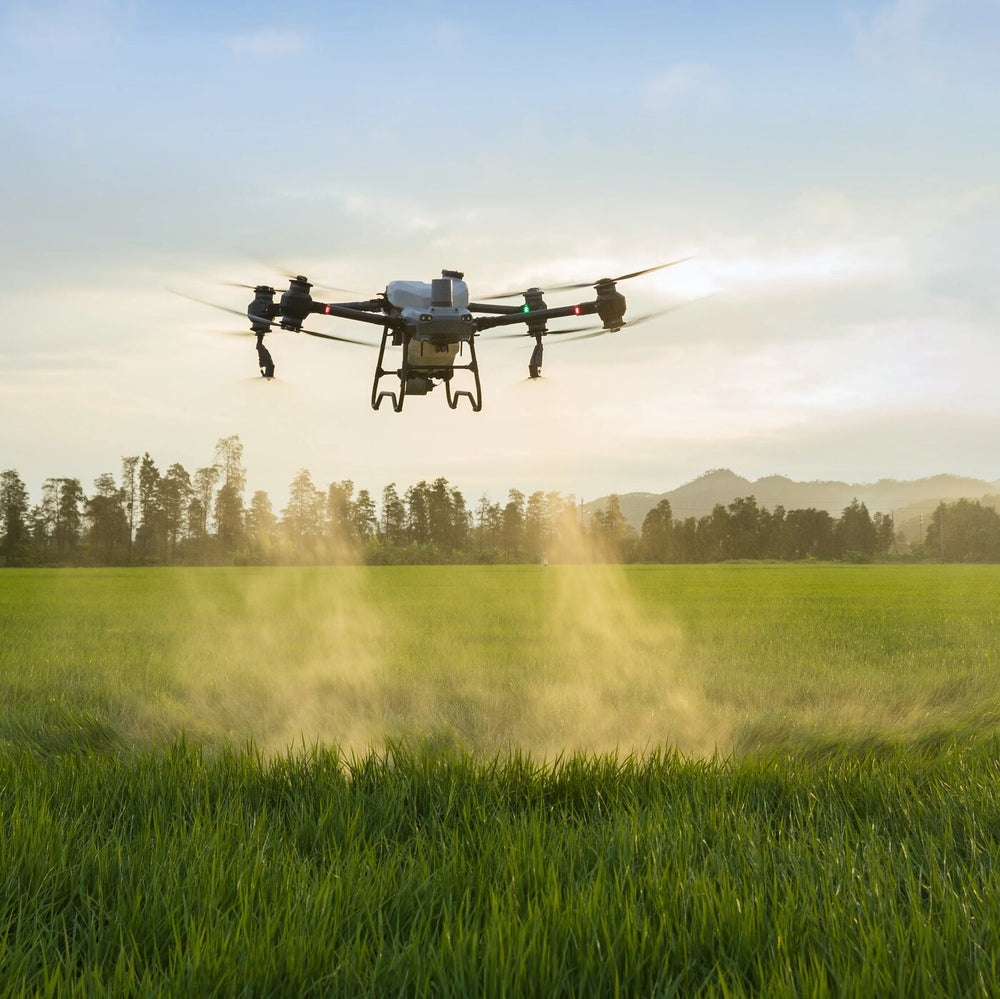
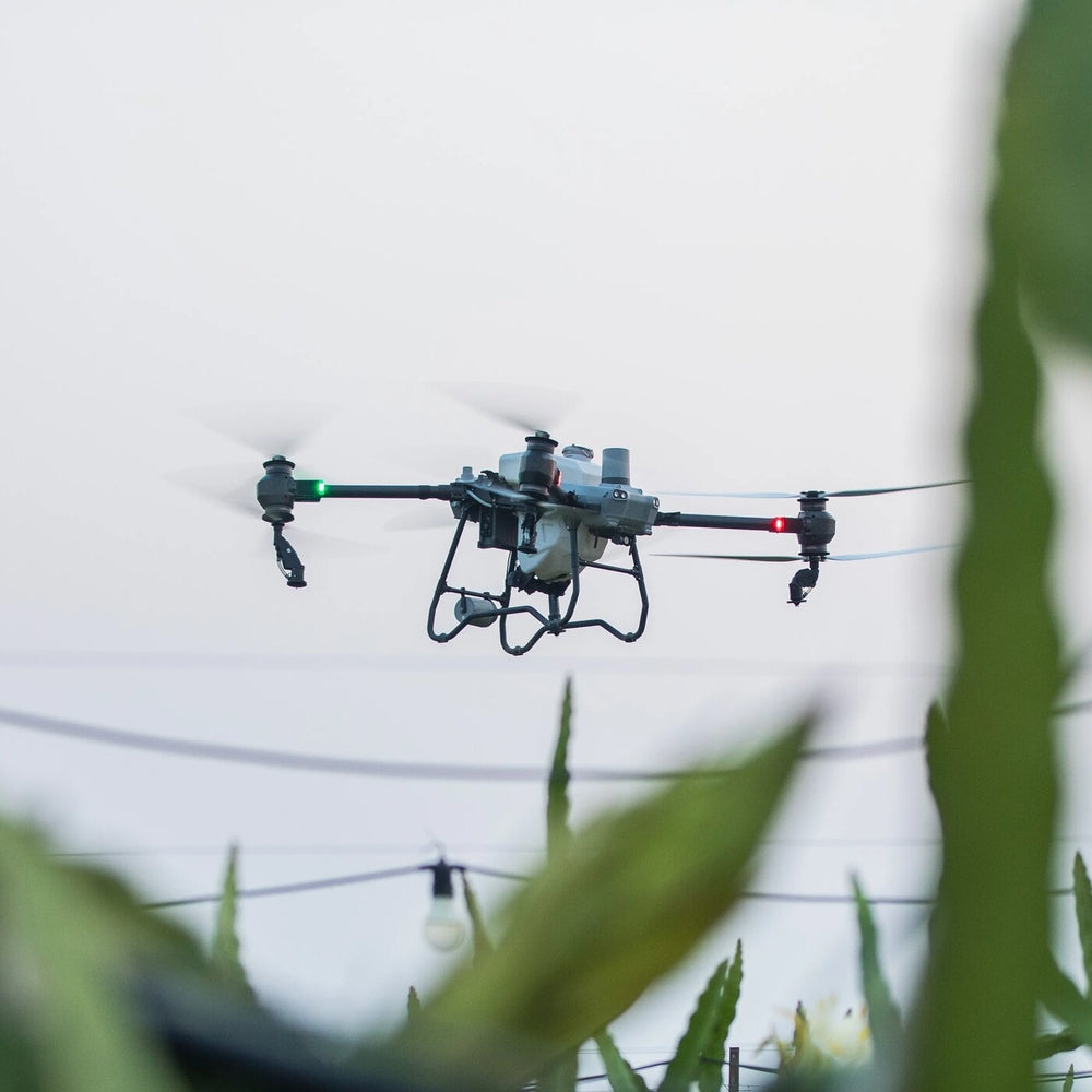
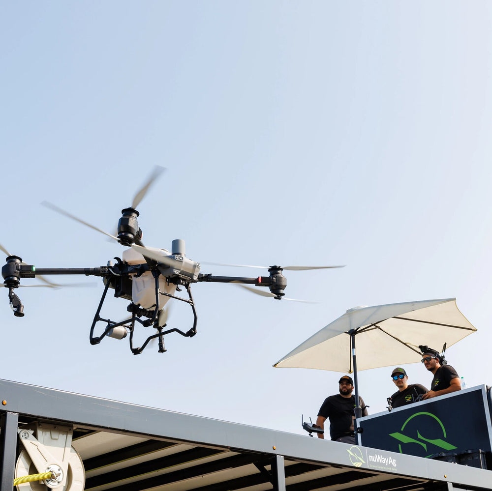
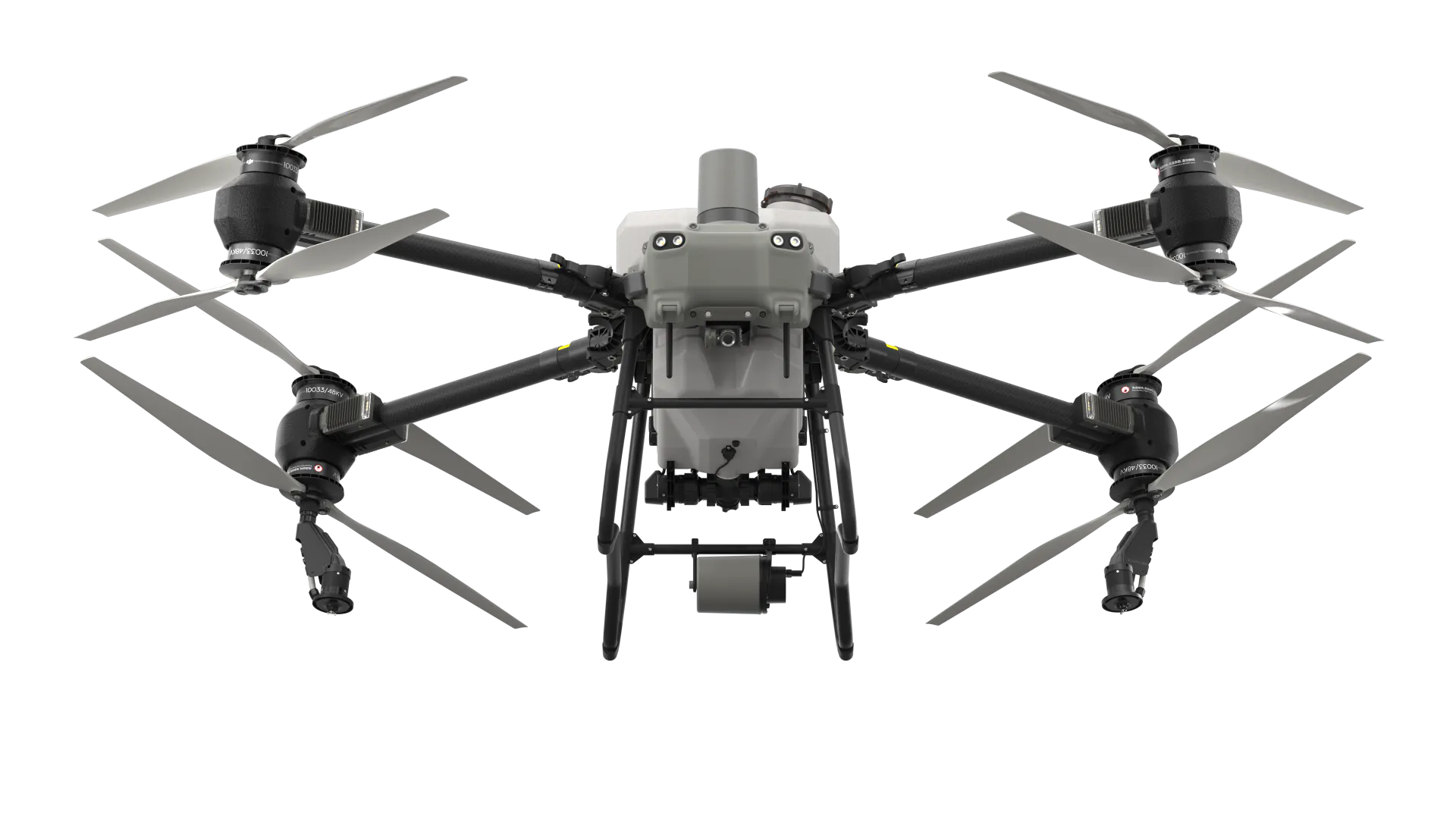
Aeroplane
How is the flight performance of the DJI AGRAS T50?
Maximum flying altitude: 100 m (subject to local regulations, contact your local dealer);
Largest remote control range: 2,000 m;
Maximum flying speed: 10 m/s, maximum operational flying speed: 10 m/s
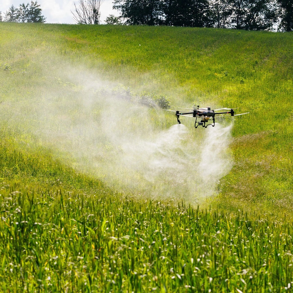
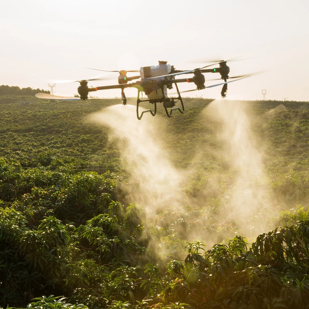
Dual atomisation system
What is the droplet size of the DJI AGRAS T50's dual nebuliser system? Is the droplet size adjustable?
Droplet size: 50-500 μm.
The droplet size can be adjusted manually or set to one of six levels: Very Coarse, Coarse, Medium, Fine, Very Fine and Extremely Fine.
Does the AGRAS T40 support the optional Centrifugal Nozzle Kit?
No.
Is the AGRAS T40 compatible with the spray system of the DJI AGRAS T50?
No.
Active phased array radar system + binocular vision system
What features of the Active Phased Array radars and Binocular Vision system are supported on the DJI AGRAS T50?
-
Obstacle detection in multiple directions on the horizontal plane, as well as the circumventing obstacles (Obstacle Bypassing) in the drone's flight direction.
-
Terrain Follow On steep slopes.
Under what conditions can the active obstacle avoidance and terrain tracking functions be used while working with the DJI AGRAS T50?
-
These functions can be used in AB flight paths and fully automatic operations, but not with manual routes.
-
The light intensity should be moderate, the environment should have sufficient textural characteristics and the Binocular Vision system should be free of spots or obstructions.
-
Active obstacle avoidance is supported at a height of 2.5 to 8 metres. Terrain tracking is supported at a height of 1.5 to 30 metres.
-
Bypassing obstacles becomes not recommended near power lines or tension wires.
Land surveying and mapping
What is the maximum slope angle supported in area measurements with the DJI AGRAS T50?
Slopes of up to 20° can be measured.
*To ensure a high success rate in measurement and mapping, the DJI AGRAS T50 automatically adjusts the flight speed based on the slope. The steeper the slope, the lower the speed.
What are the differences between ‘Area Route’ and ‘Boundary Route’ surveying on the DJI AGRAS T50?
-
Area Route surveying: Measures and maps all areas and automatically detects field boundaries and obstacles.
-
Boundary Route surveying: Measures and maps a 20-metre-wide area around the field boundary. This mode is suitable for quick scanning of large areas and is ideal for areas without obstacles.
Can field and 3D orchard routes measured with the DJI AGRAS T50 be used by other AGRAS series drones?
Orchard and field routes are compatible with Agras T-series drones. Before starting a mission, always check operational parameters such as field margins, route distance and flight speed.
Is RTK required for FPV mapping with the DJI AGRAS T50?
Yes.
Charger
Does the DJI AGRAS T50 come with an Air-Cooled Heat Sink?
Yes.
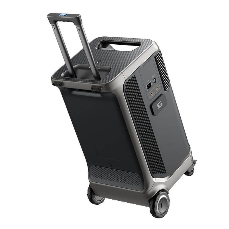
What kind of generator should be used with the C10000 Power Supply?
If you want to fast charge by connecting a third-party generator, choose a generator with an output of 220 V-240 V and an output power of at least 12 kW. Connect the phase wires (marked L), the neutral wires (marked N) and the earth wires (marked PE) of the two fast charging cables of the C10000 Smart Charger to the phase, neutral and earth wires of the generator, respectively.
Dissemination system
How does the DJI AGRAS T50 spreading system perform in low-dosage scenarios, such as seeding?
The spreading system of the DJI AGRAS T50 supports switching to a small metering slide. This makes spreading with a low flow rate more accurate.
Does the DJI AGRAS T50's spreading system support powder dispersal?
No.
Has the spreading performance of the DJI AGRAS T50 spreading system improved?
-
Larger drain: The throughput has increased, allowing a maximum of 108 kg of granules to be spread per minute.
-
Spiral dial: Thanks to the spiral channel turntable, dispersion is more even.
-
Larger capacity: The tank capacity has been increased to 75 litres.
DJI RC Plus
Have improvements been made to the video transmission signals of the DJI AGRAS T50?
The DJI AGRAS T50 is equipped with the new DJI O3 video transmission system with four antennas. This system provides smoother images when working in high crops. The quality of the video transmission signal has been significantly improved.
Does the DJI RC Plus come with an RTK module for high-precision positioning and an adapter?
No, this is an optional module.
DJI Relay Module
Which models of drones can be paired with the DJI Relay Module?
The DJI AGRAS T50, DJI AGRAS T25, DJI AGRAS T40 and DJI AGRAS T20P.
What should I pay attention to when installing a DJI Relay Module?
-
Attach the support bar via the adapter and secure the DJI Relay in an open area without obstacles.
-
Make sure the DJI Relay has at least 2 metres higher than any obstacles is installed to ensure interference-free signal transmission.
-
Use the DJI Relay not during thunderstorms.
Does the DJI Relay Module support simultaneous signal transmission to multiple drones?
No.
DJI Smart Farm Web
Photos of which aircraft can be reconstructed with DJI SmartFarm Web?
The Phantom 4 RTK, Phantom 4 Multispectral, DJI Mavic 3 Multispectral and DJI Mavic 3 Enterprise are supported. Photos taken with non-DJI devices are not supported.
What scenarios can be reconstructed with DJI SmartFarm Web?
Scenarios for arable (fields), orchards and multispectral shots can be reconstructed.
What is the maximum number of photos that can be reconstructed with DJI SmartFarm Web?
The upload limit for a single mission is 20,000 photos, including photos in TIF format. We recommend uploading no more than 10,000 photos per mission.
What farming applications can be performed with DJI SmartFarm Web in combination with the DJI Mavic 3M and DJI Agras drones?
Elevation analysis: Monitor elevation data to analyse land flatness and direct levelling operations to improve efficiency.
Monitoring crop growth: Observe growth through NDVI and other vegetation indices to identify seedling emergence, nutritional status, weed spread, water stress and other conditions, increasing the efficiency of field inspections.
Task Maps (Prescription Maps): Generate maps for variable fertilisation and crop protection based on growth monitoring, ensuring even growth and reducing chemical use.
Counting fruit trees: Automatically count the number of fruit trees.
Surveying and mapping orchards and farmland: Map working areas and plan fully automatic routes for Agras drones.
Measuring agricultural land: Generate high-resolution maps where plot boundaries are automatically extracted, allowing users to accurately measure the cultivated area.
How do new users of DJI Agras drones access DJI SmartFarm Web?
DJI SmartFarm Web is currently available as a free trial. Keep an eye out for updates for further information.


 EN
EN  NL
NL  FR
FR  DE
DE  ES
ES