Description
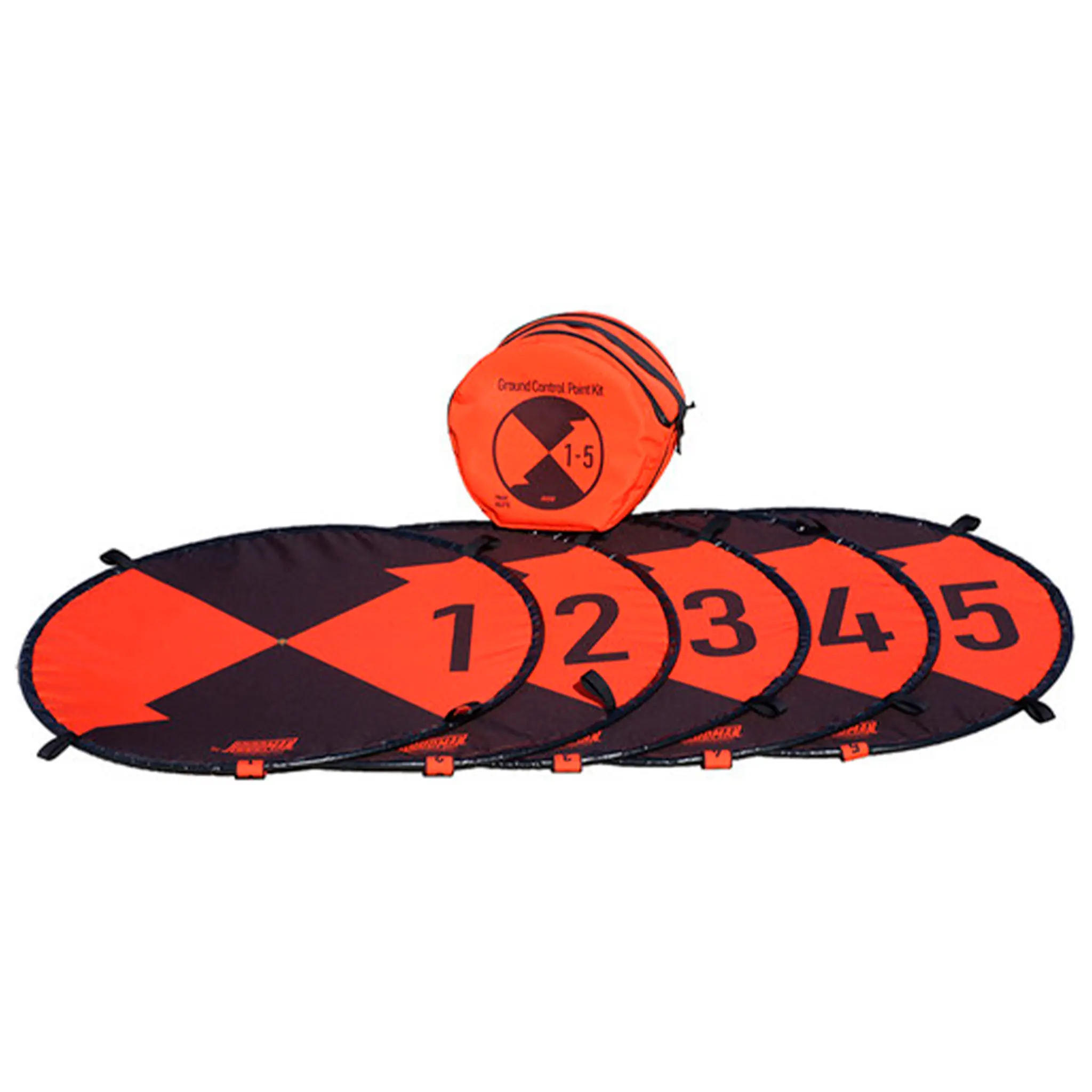
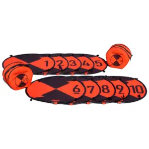
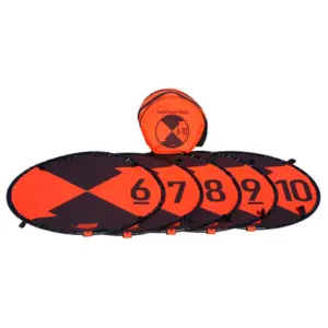
Hoodman Ground Control Point 5 Pack 1-5

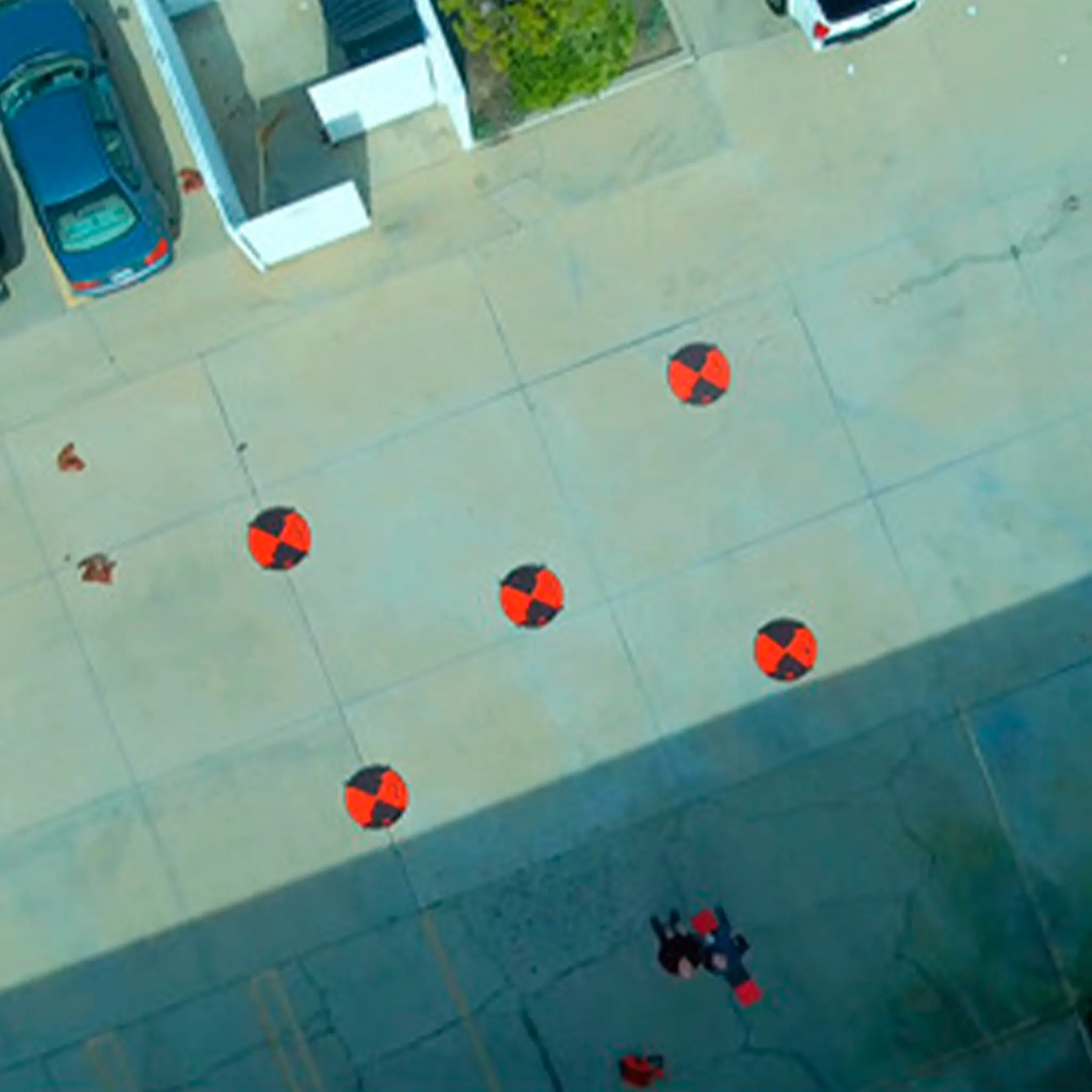
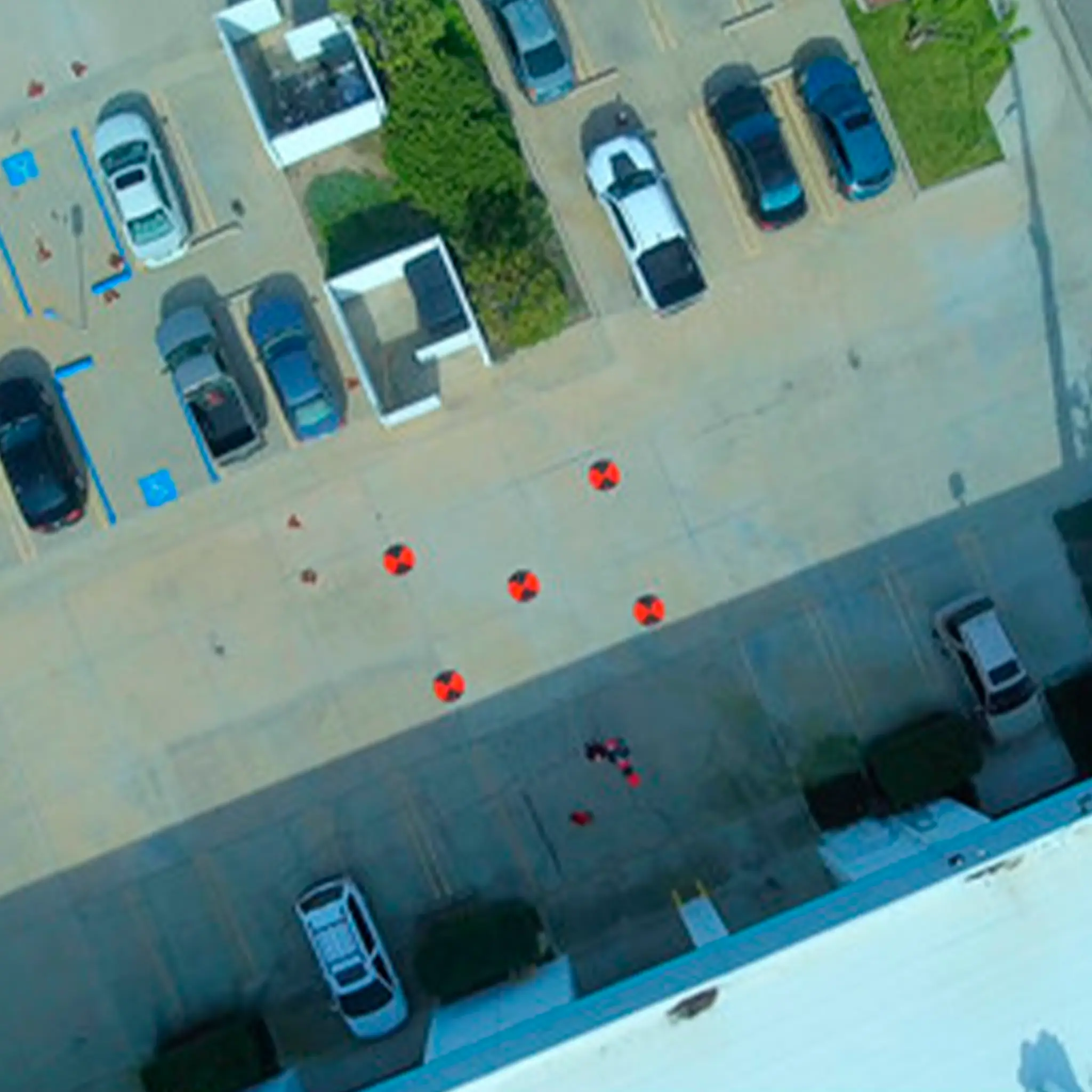
The Hoodman Ground Control Point 5 Pack (1-5) is a professional tool for drone mapping, photogrammetry and surveying applications. This set consists of five clearly numbered ground markers that help capture accurate reference points in aerial imagery. These reference points allow mapping software and survey teams to determine the exact scale and position of objects on maps. This makes the kit ideal for drone operators, GIS specialists, surveyors and inspection teams who need reliable data from aerial imagery.

Performance & Functionality
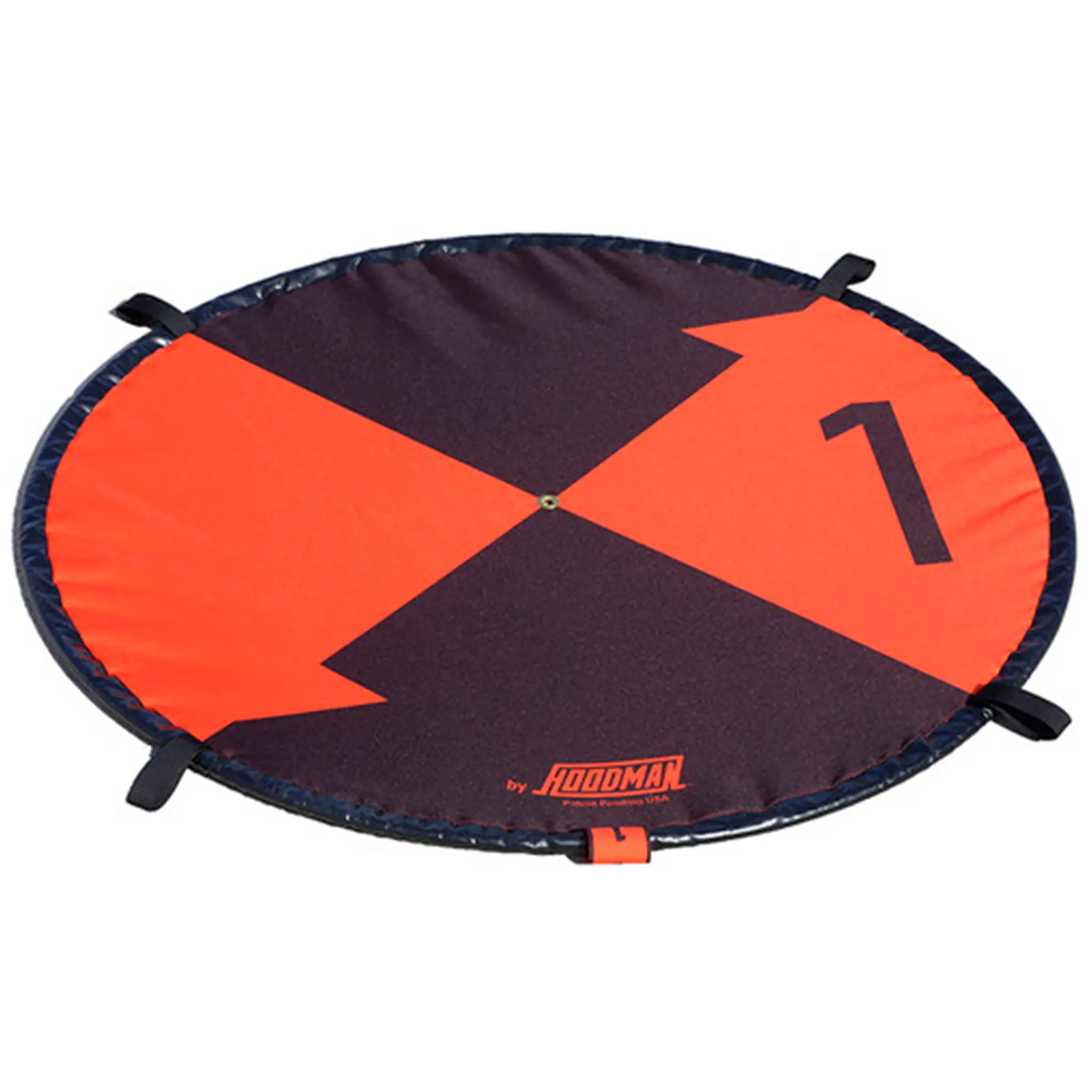
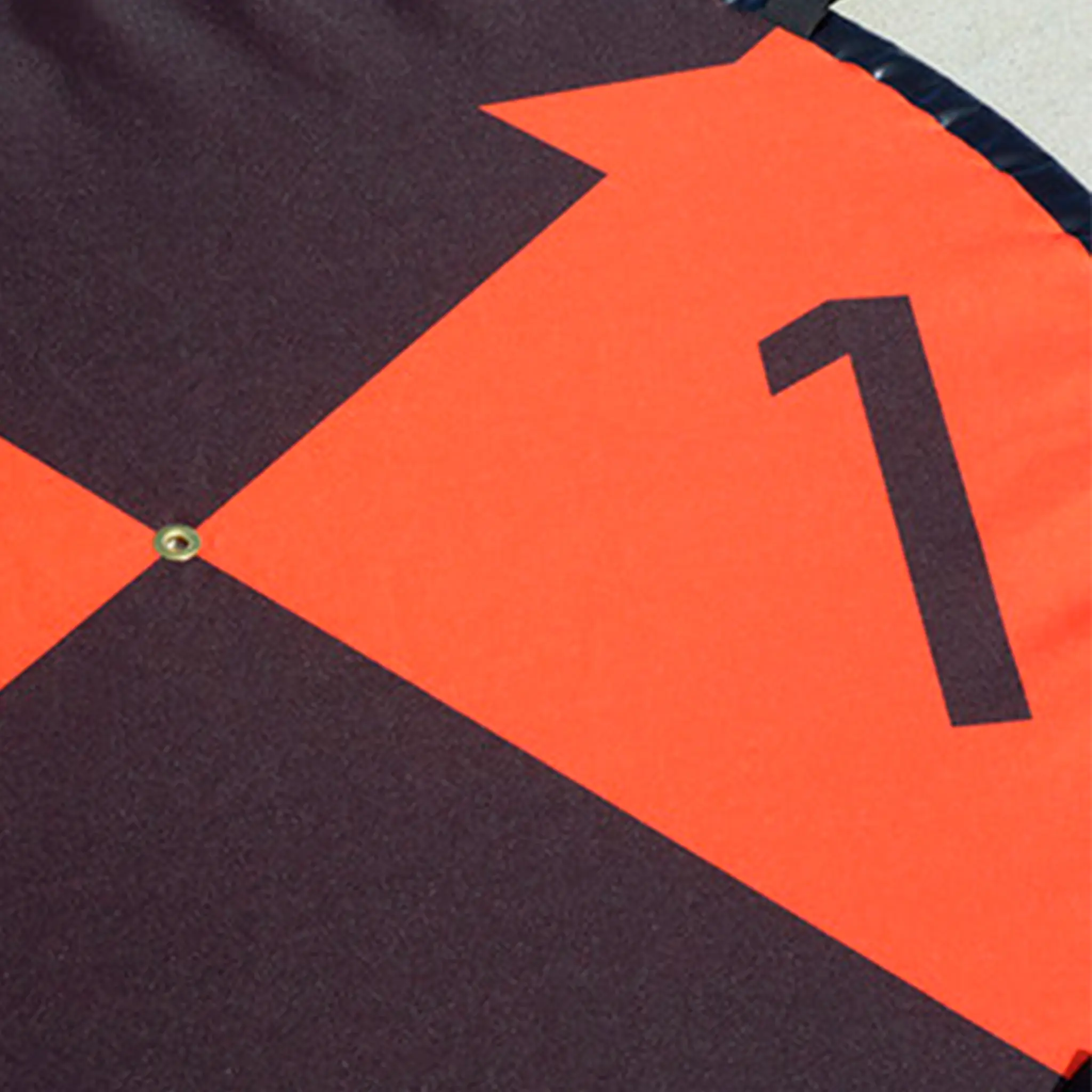
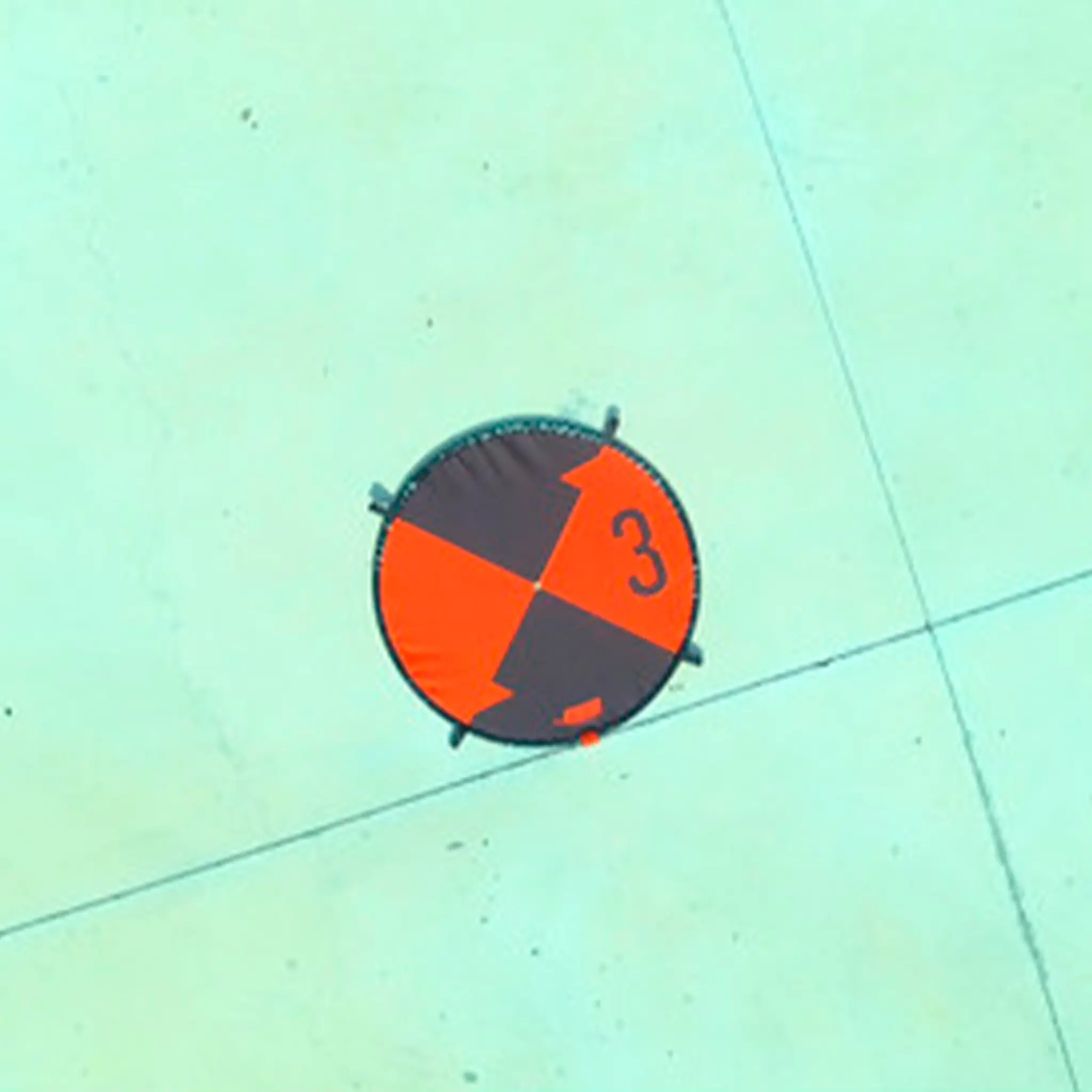
Each Ground Control Point (GCP) pad is approximately 0.9 metres in diameter and features a contrasting black-orange pattern with large numbers from 1 to 5. This design makes the markers easily visible from the air, even at higher altitudes or in complex terrain. The markers also include 24-inch (about 61 cm) scale marks that provide additional reference points for accurate measurements in photogrammetry software. Thanks to the central brass ring, a surveying stick or GPS reference can be inserted to determine the exact location of the checkpoint.
Build Quality & Design
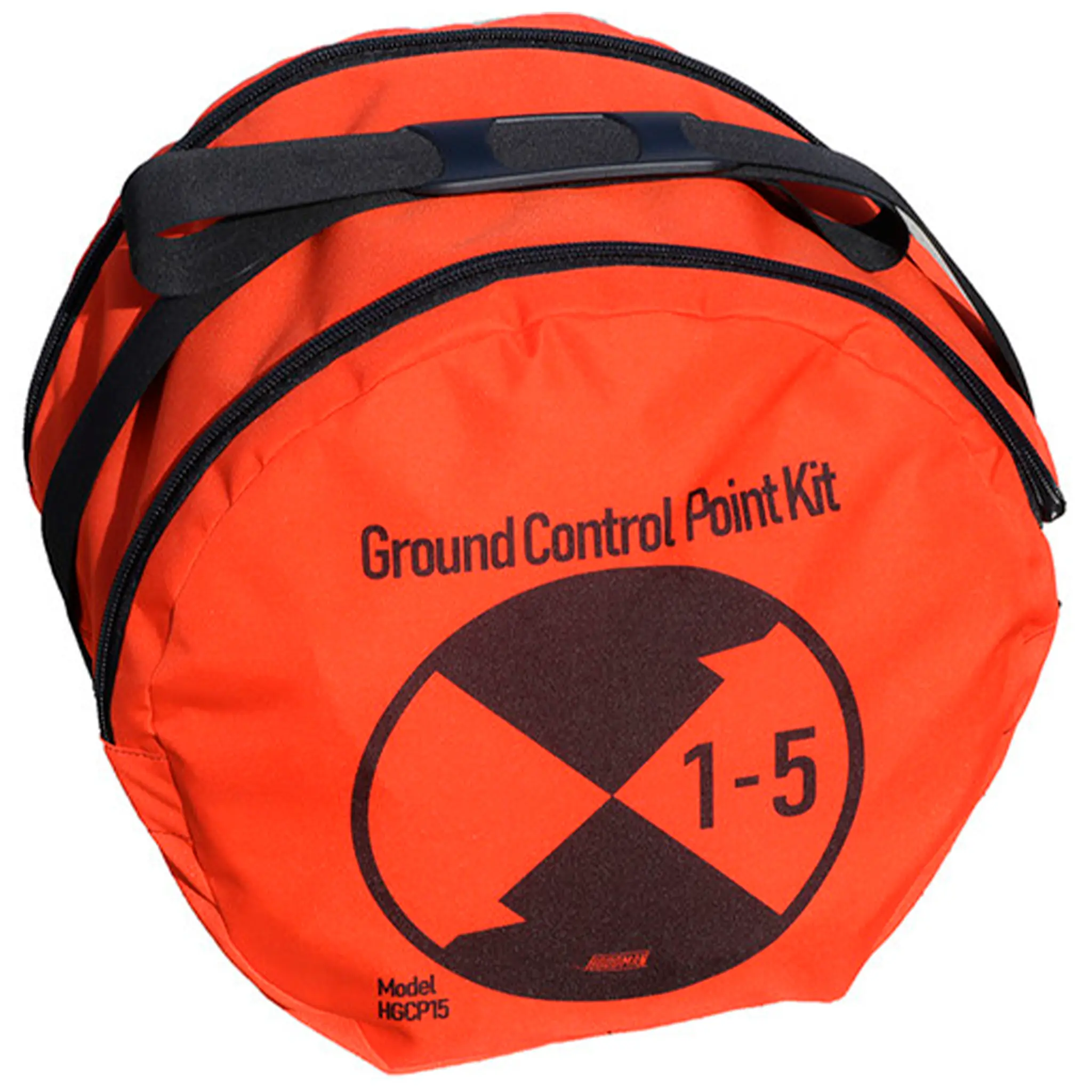
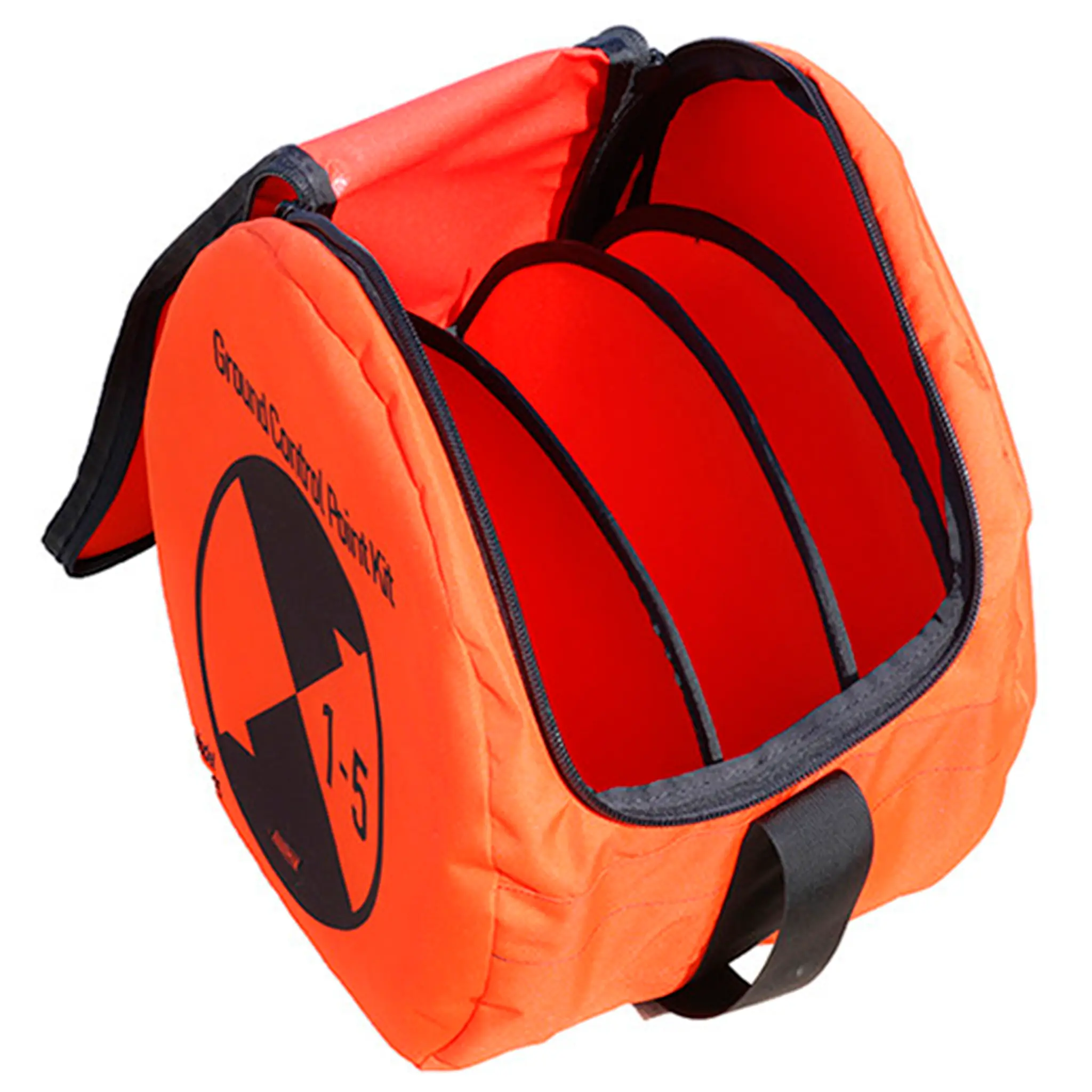
The pads are made of sturdy 600-denier polyester and feature a galvanised steel cable along the edge for added weight and stability. This keeps the markers firmly in place without always requiring ground pins. For long-term installations, the four fastening loops can be used to secure the markers with ground stakes. The markers fold open automatically and can be folded to about a third of their size, making them compact and easy to transport in the included carrying bag.

Why You Need It
For accurate drone mapping and geospatial analysis, reliable reference points are essential. The Hoodman Ground Control Point Kit provides a robust and highly visible solution to improve aerial measurement accuracy. Its durable design, high visibility and easy transport make it an indispensable tool for professional drone-surveying projects.
 English
  Dutch
Dutch  French
  German
  Spanish