Description
Hoodman Ground Control Point 10 Pack 1-10

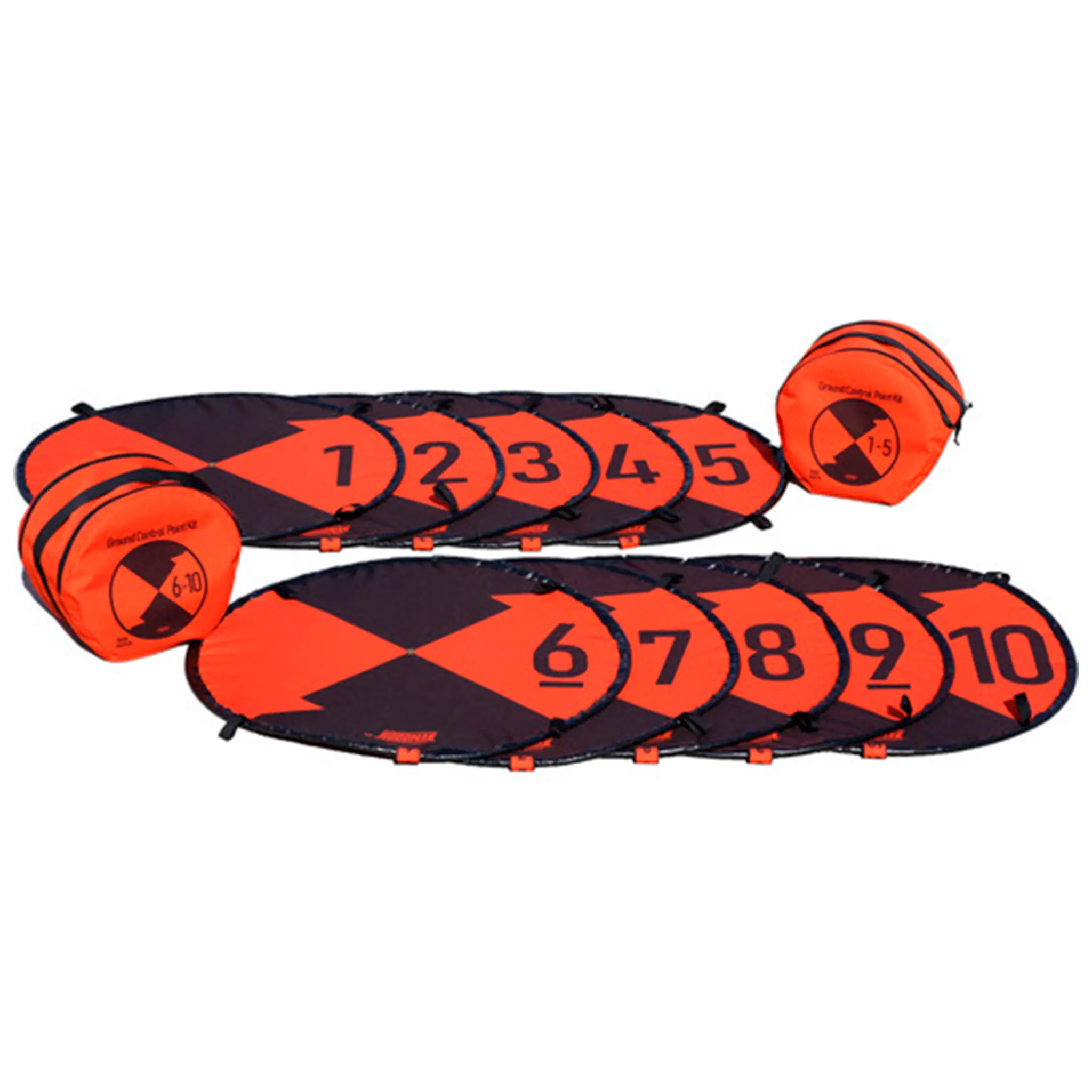
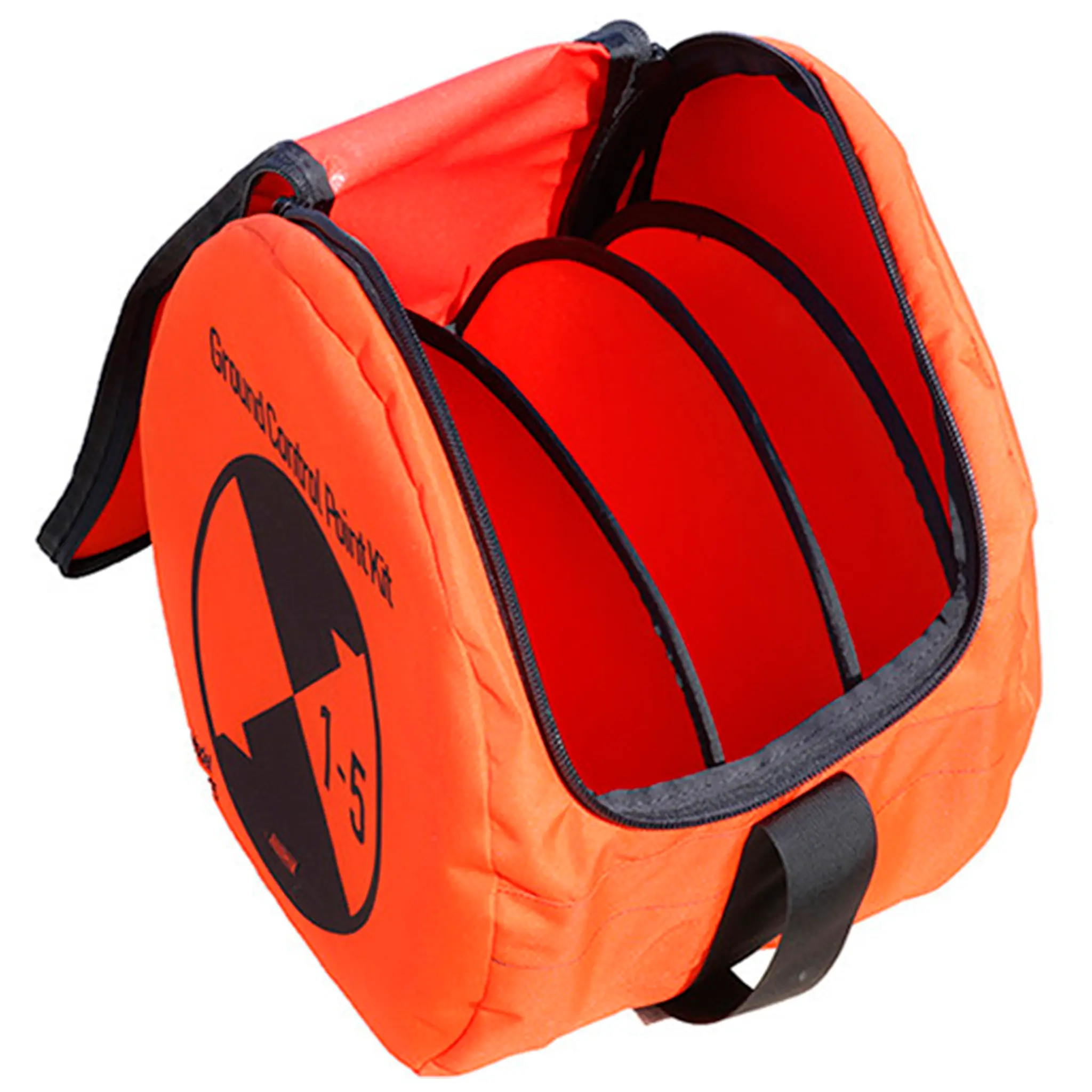
The Hoodman Ground Control Point 10 Pack (1-10) is a professional set of ground markers designed specifically for drone mapping, photogrammetry and surveying applications. This comprehensive kit contains ten clear ground control points numbered 1 to 10. By strategically placing these markers in the terrain, drone operators and survey software can use accurate reference points to correctly scale and georeference aerial imagery. This makes the set ideal for large mapping projects such as construction sites, infrastructure inspections and topographic surveys.

Performance & Functionality
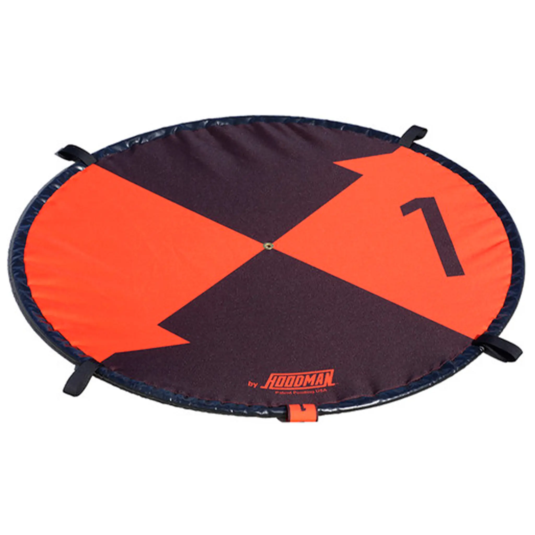
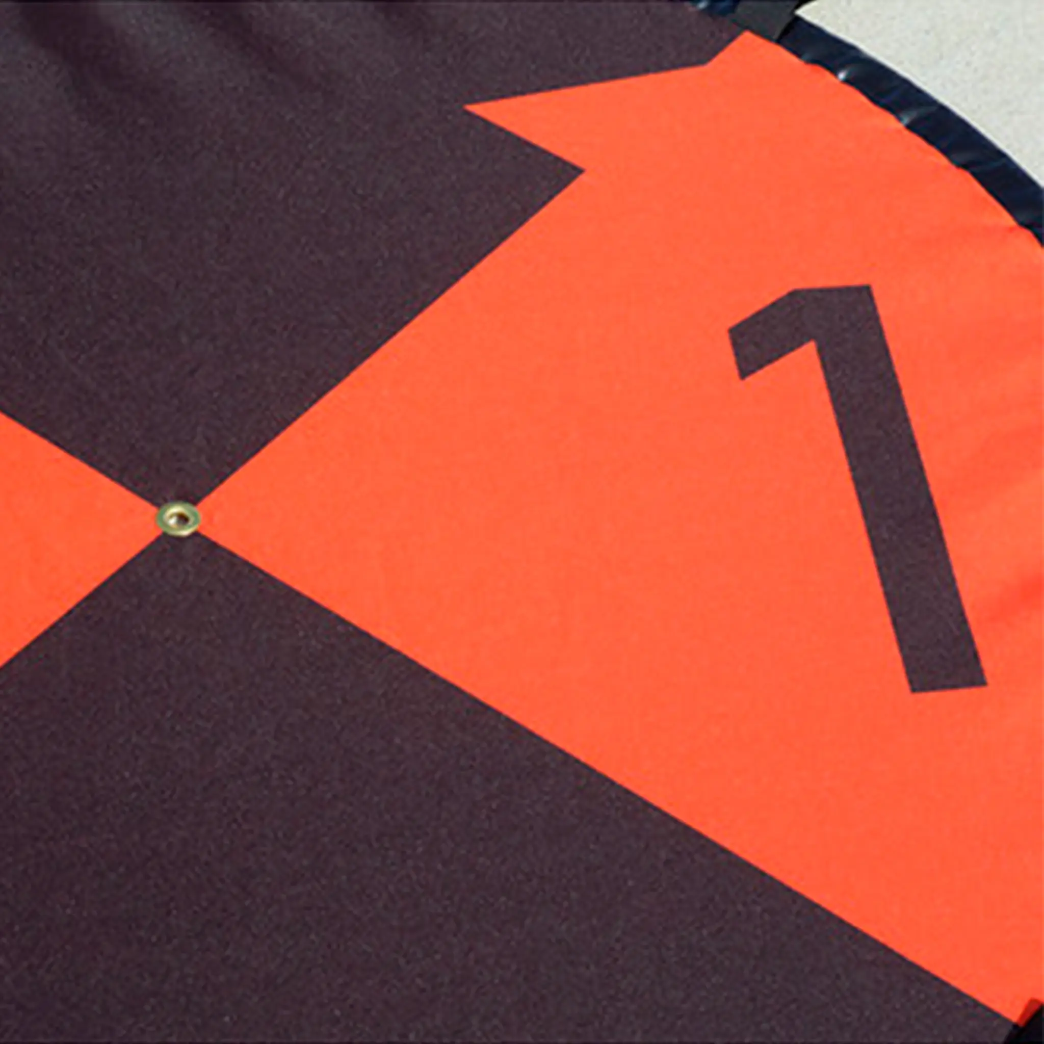
Each marker is about 0.9 metres in diameter and features a distinctive black-orange pattern with large numbers, making them easily visible from the air. This allows drones and photogrammetry software to quickly identify control points in aerial photographs and video footage. The design also incorporates 61-cm scale markers to provide additional reference points for accurate measurements. At the centre of each marker is a brass grommet into which a surveying stick or GPS reference can be inserted to determine exact coordinates.
Build Quality & Design
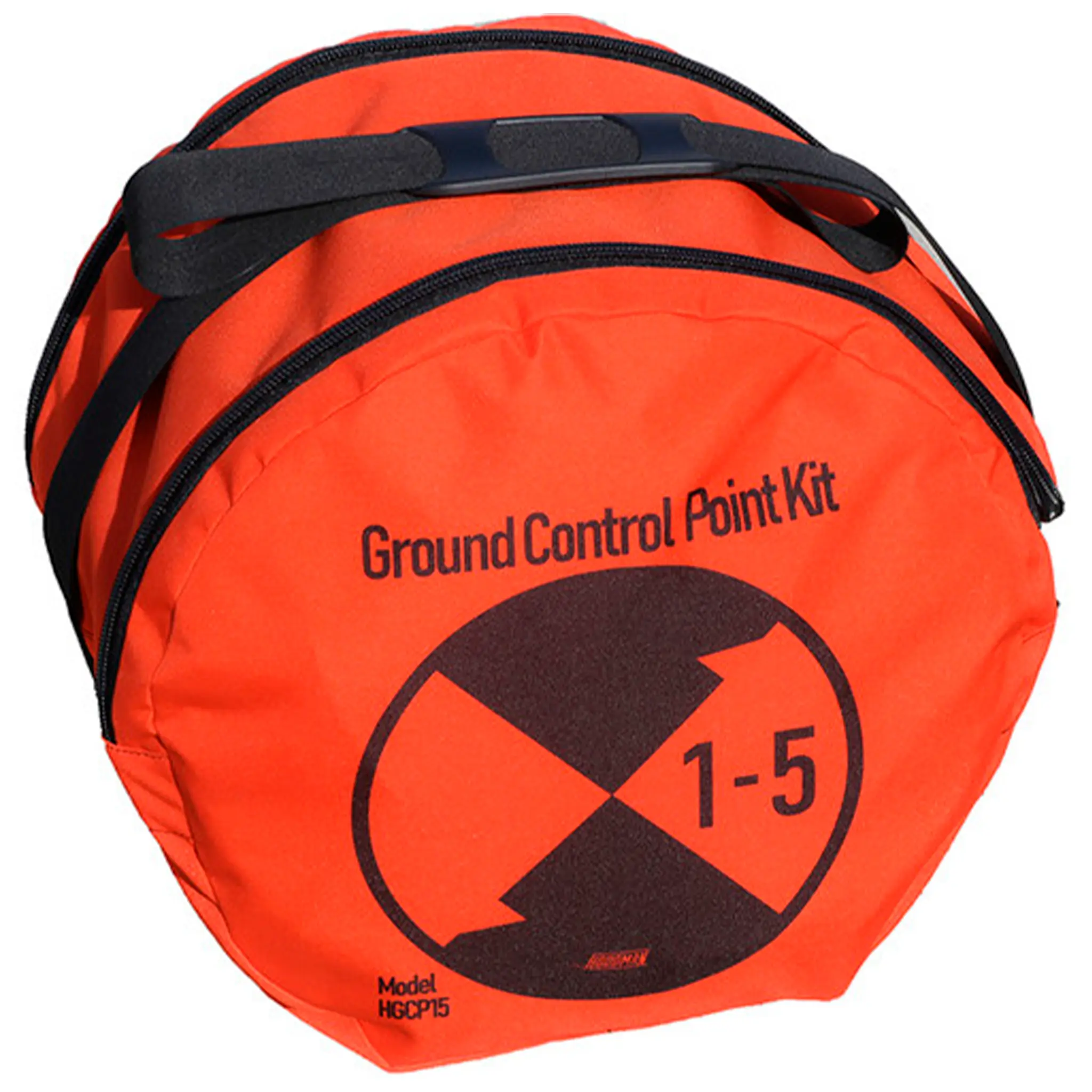
The markers are made of durable 600-denier polyester and include a galvanised steel cable in the rim that adds extra weight and stability. This keeps the markers firmly in place without always requiring ground pins. For long-term placement, the markers have four fastening loops that can be used to secure them if necessary. The pads pop open automatically when unfolded and can be folded to about a third of their size for easy transport. The complete set fits into two handy carrying bags that are included.

Why You Need It
For professional drone-surveying and geospatial analysis, reliable reference points are essential. The Hoodman Ground Control Point 10 Pack provides a complete solution for larger projects where multiple control points are required. With its high visibility, durable construction and easy deployment, this kit helps to significantly improve drone-mapping accuracy.
 English
  Dutch
Dutch  French
  German
  Spanish